
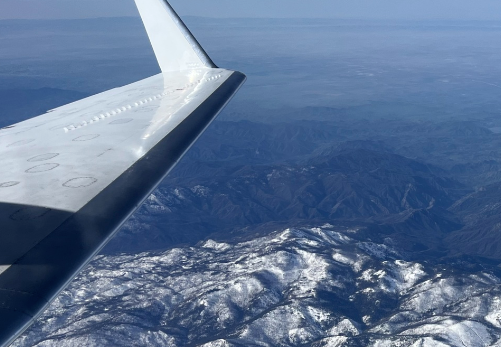
Last Flight Flown: PLAN_25024 (Jul 10, 2025)
L-band. Location: Texas
L-band. Location: Texas
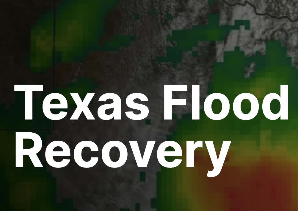
NASA Aircraft, Sensor Technology, Aid in Texas Flood Recovery
The UAVSAR team is planning to collect observations over the Guadalupe, San Gabriel, and Colorado river basins NASA Uses Advanced Radar to Track Groundwater in California
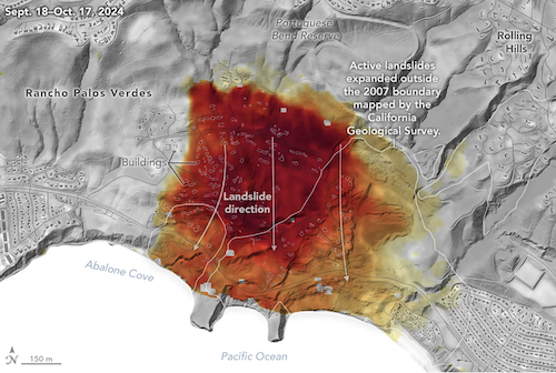
Mapping water recharge signatures with interferometric SAR UAVSAR Imagery Reveals Details About Los Angeles-Area Landslides
Change detection analyses show ground movement following record-breaking rainfall in Southern California in 2023 and another heavy-precipitation winter in 2024.
The UAVSAR team is planning to collect observations over the Guadalupe, San Gabriel, and Colorado river basins NASA Uses Advanced Radar to Track Groundwater in California
Mapping water recharge signatures with interferometric SAR UAVSAR Imagery Reveals Details About Los Angeles-Area Landslides
Change detection analyses show ground movement following record-breaking rainfall in Southern California in 2023 and another heavy-precipitation winter in 2024.
Science & Applications
NewsCalendar
Featured Articles
Deployments
Applications
Publications
Workshops
Team Profile
Flight Request Instructions
Documents
Technology
UAVSAR-LUAVSAR-P
UAVSAR-Ka
Calibration
Aircraft
Processing
Education
What is UAVSAR?UAVSAR Operations
Postcards
How We Became Radar Scientists/Engineers
Lesson Plans
Image Gallery
Tools
Flight PlanningData Search
Track NASA G3
Flight Search
Related Links
Contact Us