Technology
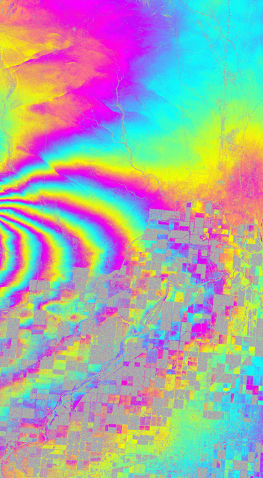
UAVSAR-L
The L-band radar utilizes an electronically scanned array antenna to provide robust repeat-pass interferometry for observing surface deformation such as volcano and earthquake fault activities, vegetation structure and soil moisture changes, levee health, oil spill, and flooding.
UAVSAR-P (AirMOSS)
The long wavelength P-band radar is designed for subsurface and sub-canopy imaging applications such as monitoring root zone soil moisture, forest and permafrost changes, and detecting underground structures and subsurface changes.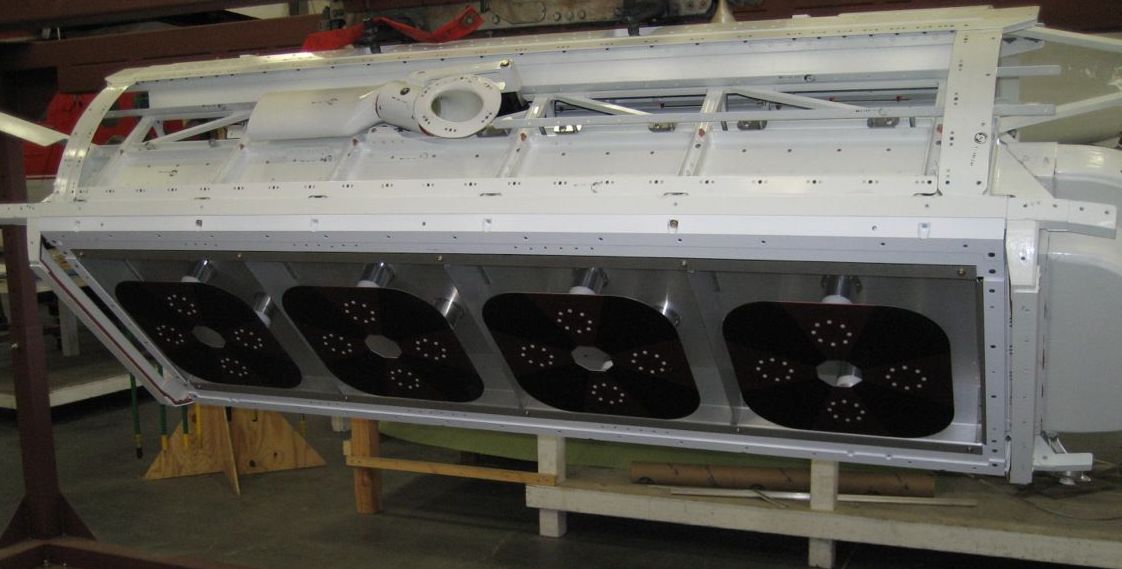
UAVSAR-Ka (GLISTIN-A)
UAVSAR-Ka is a state-of-the-art Ka-band airborne single-pass interferometric SAR designed to map land surface topography.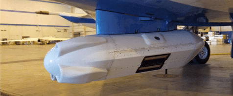
Aircraft
UAVSAR flies on a Gulfstream-III (G3) jet with a precision autopilot that controls the airplane so that it can fly the same path within 10 m (33 ft).
Calibration
Careful calibration of the radar is required in order to produce image brightnesses and polarimetric phases that are accurate enough to derive physically meaningful products.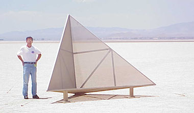
Processing
UAVSAR produces polarimetric (PolSAR) and interferometric (repeat-pass InSAR) products that highlight different features and show changes in the earth over time.