Technology > Calibration
Calibration Array for SWOT
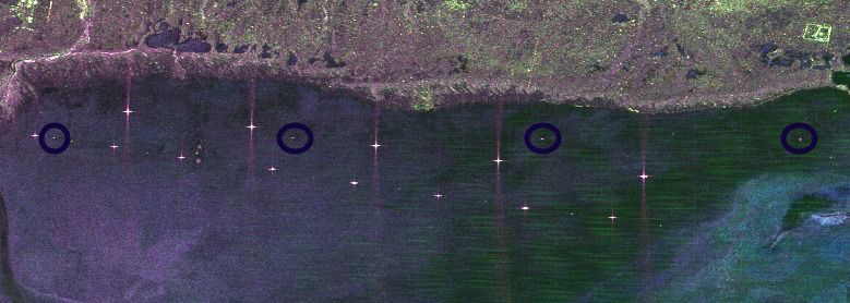
SWOT corner reflector deployment in Oklahoma and TexasCalibration Arrays for NISAR
NISAR corner reflector deployment in OklahomaNISAR corner reflector deployment in Fairbanks and Delta Junction Alaska
Available Calibration Targets
Calibration Equipment Available for DeploymentInternal to JPL only.
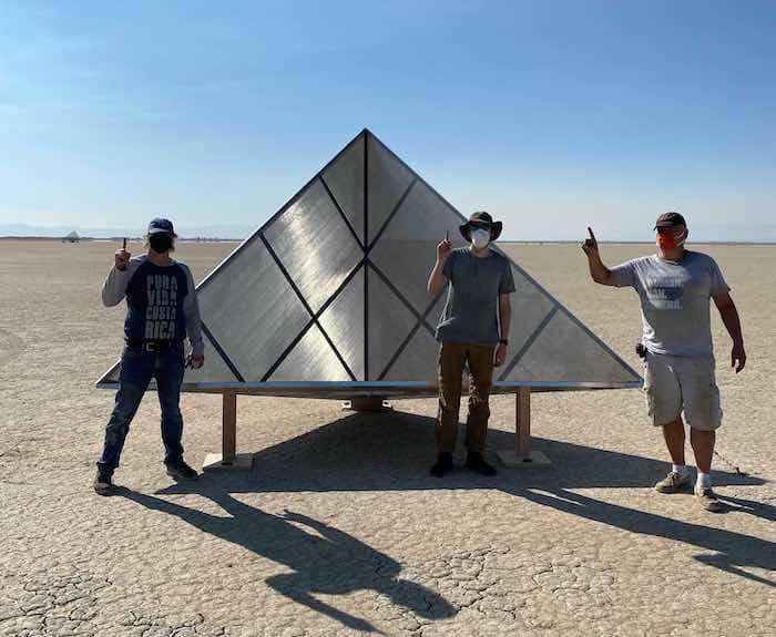
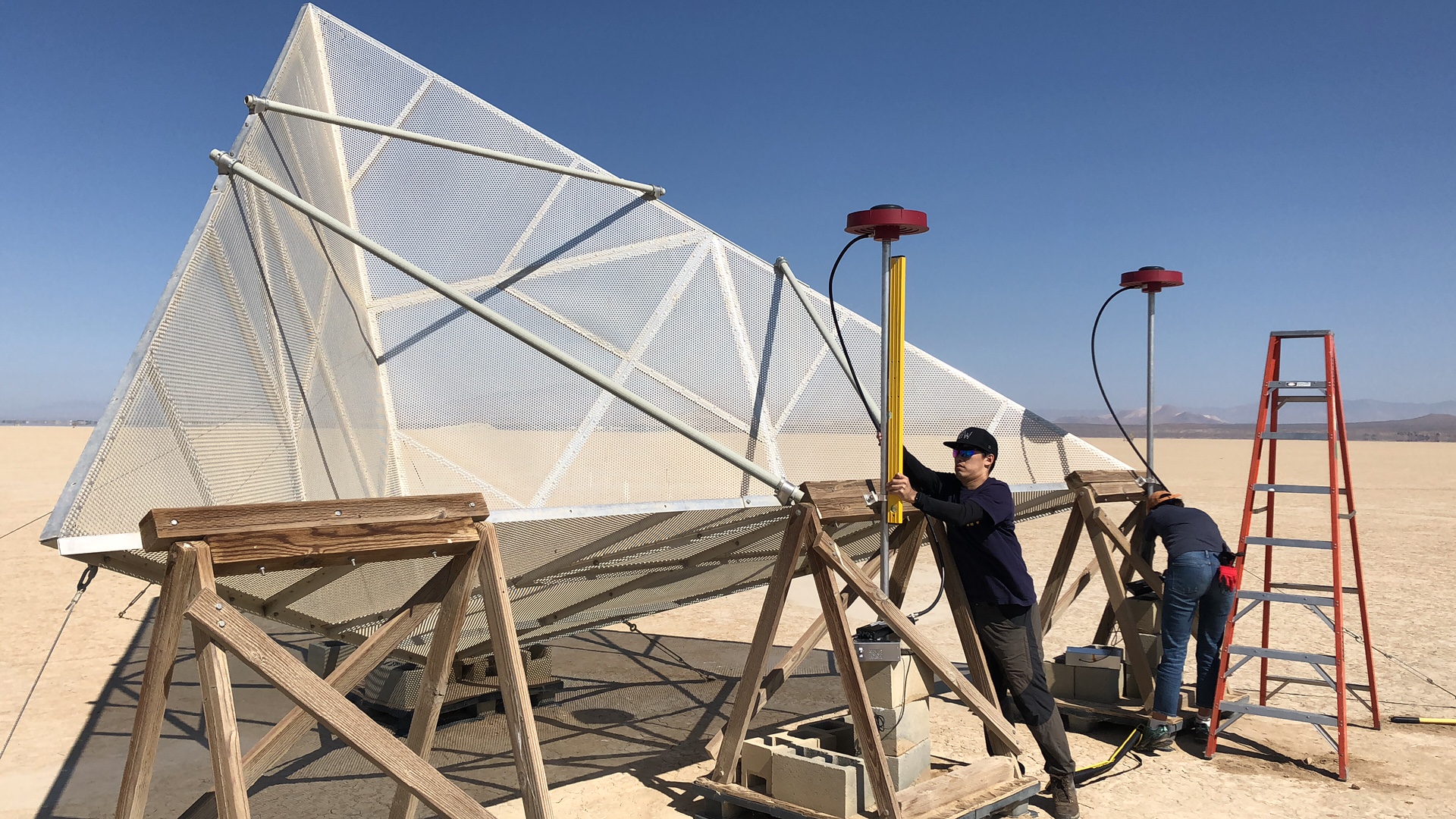
2.4 m Trihedral Corner Reflector Assembly
The following document (15206395-1 Rev A) contains specifications for our current build (August 27, 2022) of an L-band, 2.4 m triangular trihedral corner reflector and has been approved for unlimited release (CL#22-5250). For additional information, please contact Leonard Ortiz (leonard.ortiz@jpl.nasa.gov)2.4-meter Corner Reflector Drawing (8.1 MB, PDF)
Rosamond Calibration Array
The Rosamond Corner Reflector Array (RCRA) is located near the south beach of Rosamond Dry Lakebed in California. The array consists of triangular trihedral corner reflectors (CRs):
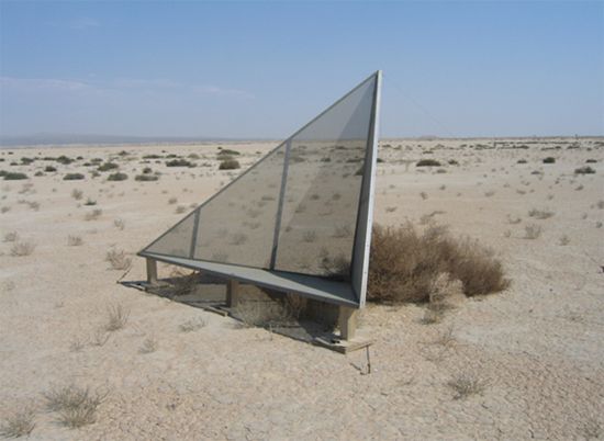
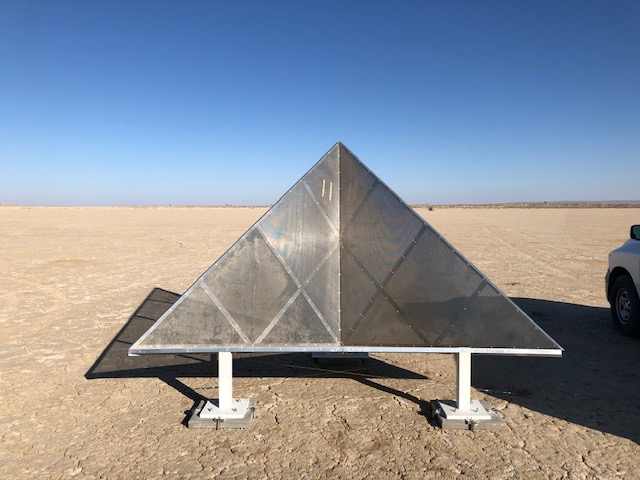
A typical 2.4-meter Rosamond trihedral corner reflector
- Twenty-three 2.4-meter CRs
- Five 4.8-meter CRs
- Ten 0.7-meter CRs
Alignment
- The 2.4-meter and 4.8-meter CRs are in a 91° line with respect to each other.
- The 4.8-meter CRs face mostly east with an azimuth heading of 350° - such that the boresight of the CR points to 80° True North.
- The 0.7-meter CRs are in an 80° line: five have an azimuth heading of 350° and five have a heading of 90°.
- Ten of the 2.4-meter CRs face mostly east with an azimuth heading of 350° and the remaining thirteen 2.4-meter CRs mostly west with an azimuth heading of 170° - such that the boresight of the CR points to 260° True North.
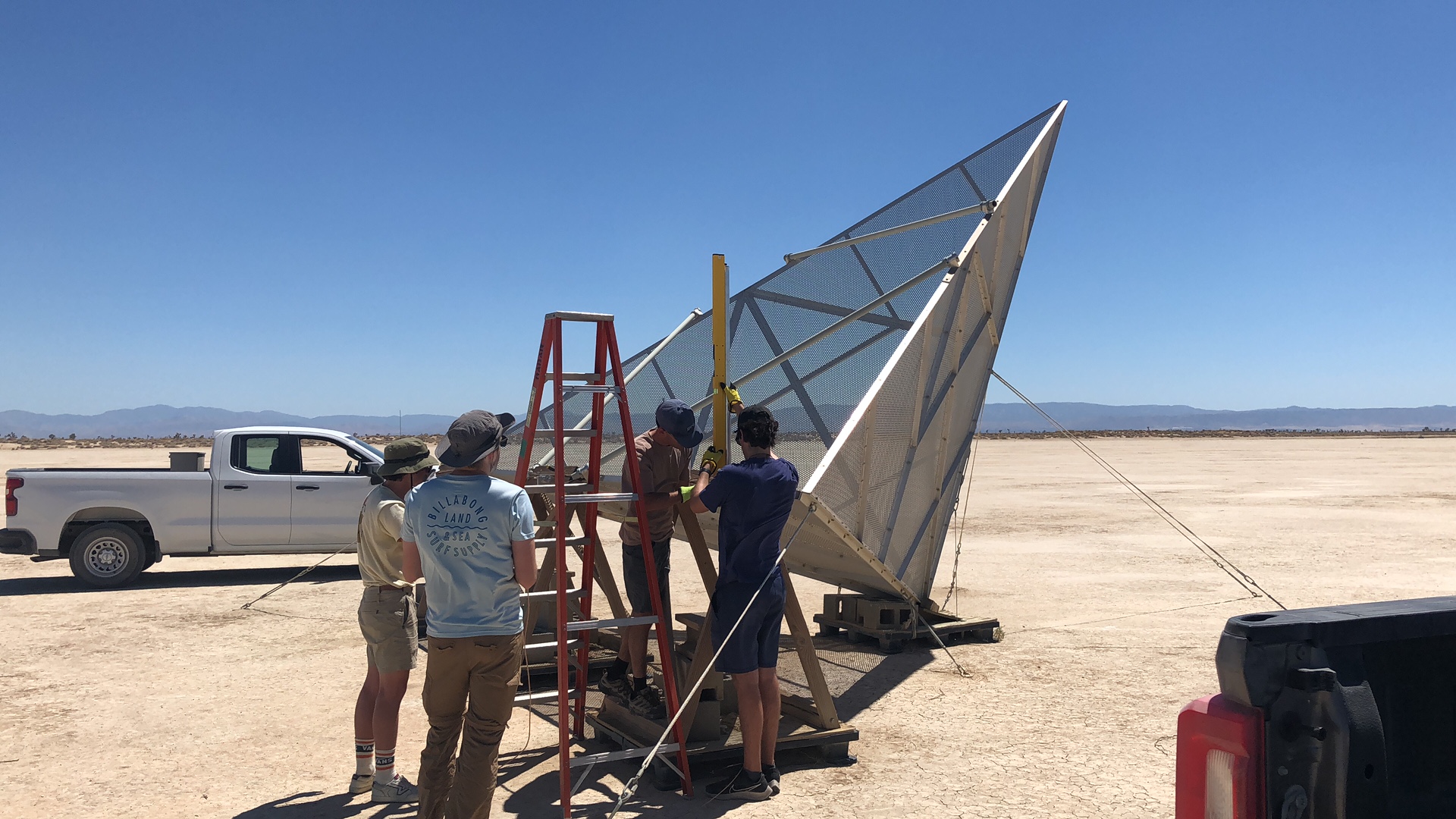
Construction
Mesh for the 2.4-meter corner reflectors
- 2.4-meters CRs: constructed with Aluminum Alloy 3003 H14 aluminum perforated sheets with staggered round holes of size 0.09375" (2.4 mm).
- 4.8-meters CRs: also constructed with Aluminum Alloy 3003 H14 but with larger 0.5" (12.7mm) round holes, and 48% open surface area. The larger holes in the 4.8-meter CRs allow for lower weight but still compatibility with L-band wavelength.
- 0.7-meters CRs: constructed with 12 (2.053 mm) gauge aluminum solid sheets.
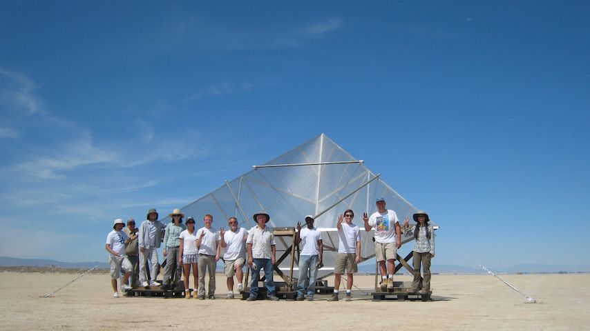
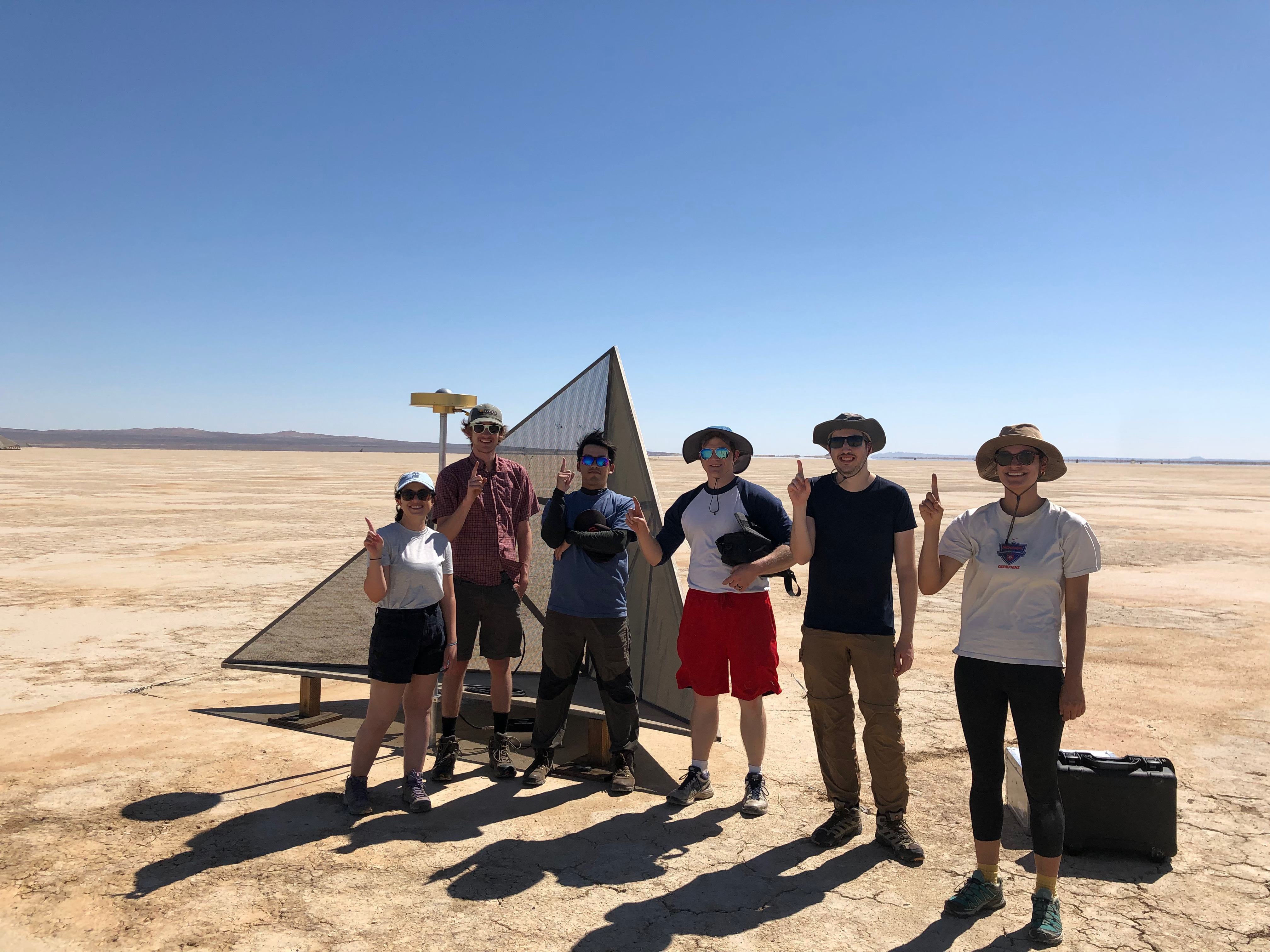
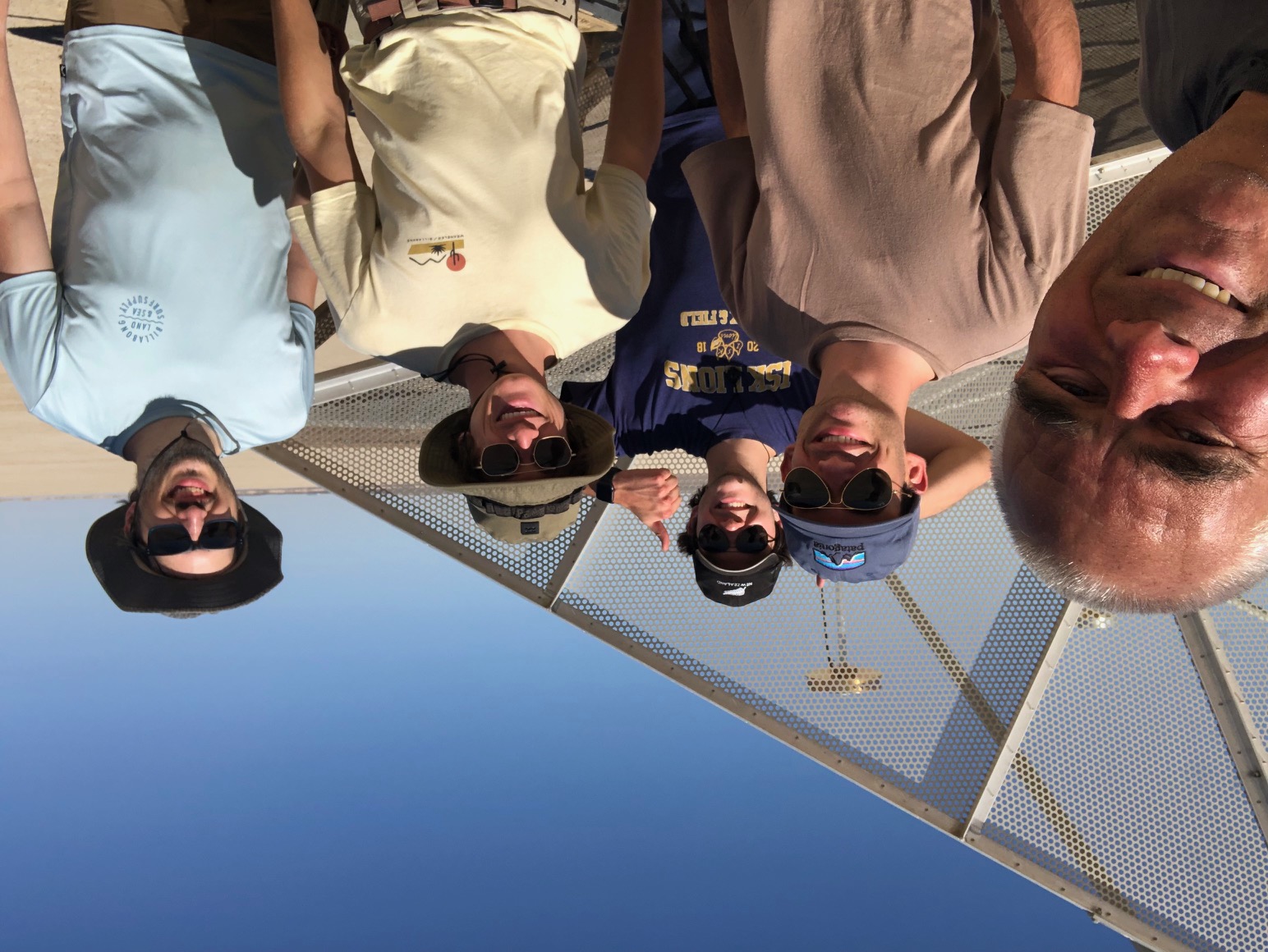
Group photo after assembling a 4.8-meter corner reflector
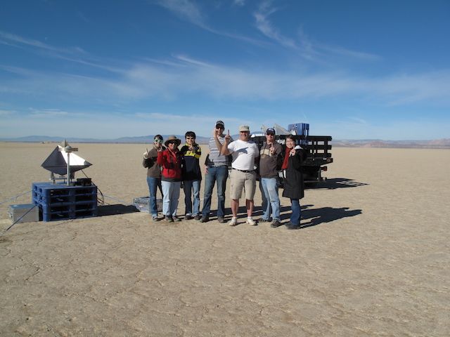
Group photo after assembling the first 0.7-meter corner reflector
Coordinates
The coordinates listed are in an IGS20 Reference Frame and are expressed as WGS-84 geodetic latitude and height above the reference ellipsoid such that:
- a = 6,378,137 meters
- f = 1/298.257222
The GNSS measurements are processed in a Center Mass (CM) frame. Those coordinates were then converted to the Earth's Center of Figure (CF) frame to account for the Earth's geocenter motion.
These coordinates are modeled as two piece-wise linear functions. The first model was based on multi-year time series analysis of the permanent GPS monument located in Rosamond, CA. Please find further information here. This first model has approximately 2.41 cm/year of plate motion with an azimuth direction of 280.8°. Specifically the change in East, North, and Vertical before July 6, 2019 is modeled as:
- delta_east_in_meters = -0.023680 * ( gps_time_past_1-jul-2011_in_secs) / 365.25 / 86400
- delta_north_in_meters = 0.004527 * ( gps_time_past_1-jul-2011_in_secs) / 365.25 / 86400
- delta_vertical_in_meters = -0.000216 * ( gps_time_past_1-jul-2011_in_secs) / 365.25 / 86400
After the Ridgecrest M7.1 earthquake on July 6, 2019, the coordinates were adjusted for a one time 1.25 CMS North displacement and with new rates for the North component:
- delta_east_in_meters = -0.023680 * ( gps_time_past_6-jul-2019_in_secs) / 365.25 / 86400
- delta_north_in_meters = 0.006594 * ( gps_time_past_6-jul-2019_in_secs) / 365.25 / 86400
- delta_vertical_in_meters = -0.000216 * ( gps_time_past_6-jul-2019_in_secs) / 365.25 / 86400
L-band image of 350° heading corner reflectors
Accuracy & History
As of November 4, 2015, the location of the bottom vertex of CRs #04 through #12 and CRs #15 through #27 have been surveyed to an accuracy of 2 cm RMS. Several CRs on the west end of the array, specifically CRs #00, #01, #02, #03, #13, and #14 have yet to be surveyed to this accuracy and are believed to be known to around 10 cm RMS.
Due to excessive erosion in the lakebed, CRs #16 and #05 were moved in 2014. CR #16 was moved September 4, 2014 approximately 6.8 meters east of its old location and CR #05 was moved November 4, 2014.
During August 8, 2017 maintenance:
- Found two overturned CRs, #18 and #12.
- #12 was moved ~3 meters north and 2 meters west of its original location.
- #18 was moved ~ 1/4 meter north and ~3 meters west of its original location.
- Sloping elevations required re-adjusted tilts of CRs #11 and #01.
During December 21, 2017 maintenance:
- CRs #00 and #01 were re-aligned and small changes to their positions were necessary. The position of these CRs were remeasured.
- The position of CRs #02, #03, #13 were remeasured.
- Elevation tilts to all the 170 CRs were remeasured.
- As of this time, the position of CR #14 and #15 are still suspect (> 10 CMS), and the tilt of CR #17 is also suspect.
During June 27, 2018 maintenance:
- 0.7-meter CRs #29, #30, #32, #33, #35, #36 were installed on the Lakebed. These CRs are all facing South to accommodate Ka-band calibration.
- Guy wires for CR #20 were re-secured to the ground.
During November, 2018 maintenance:
- Placed PARC at CR#17 location on November 1, 2018 and then repositioned 2.4-meter CR#17 15.6 meters West and 5.8 meters North of its prior location on November 7, 2018.
- Resurveyed 2.4-meter CR#01, CR#02, CR#03, CR#04, and CR#12.
- Removed 0.7-meter CR#33 from Rosamond Dry Lakebed.
During July 25, 2019 maintenance:
- Repositioned 2.4-meter CR#01 5.1 meters East and 1.1 meters North due to excessive Lakebed erosion.
- Resurveyed 2.4-meter CR#00, CR#01, CR#06, CR#07, and CR#08.
- Placed 0.7-meter CR#33 back on Rosamond Dry Lakebed and resurveyed. Orientation is no longer 90 degrees, but rotated for a 350 heading. There are now five 0.7-meter solid corners for a 90 degree heading and five 0.7-meter solid corners for a 350 degree heading.
- Adjusted all remaining corners 1.25 CMS North due to Ridgecrest, CA M 7.1 earthquake on July 6, 2019.
During November 14, 2019 maintenance:
- Repaired 2.4-meter CR#00, remeasured, position changes of -1.6/2.2/0.8 CMS change in E/N/V.
- Removed 0.7 meter CR#28 from the RCRA for maintenance.
During October 14, 2020 maintenance:
- Repaired 2.4 meter CR#02 and re-positioned it 6.5 meters East of its prior location. This target was displaced by weather after January 30, 2020, and is not available in the database after March 14, 2020.
First NISAR 2.8 meter corner reflector installed Oct 21, 2020.
- Placed the first NISAR 2.8 meter corner reflector with a 350 degree heading. Surveyed results in the database can be found with the identifiable label CR#41.
- Placed two movable corner reflector builds for an L-band experiment on the Lakebed. These 2.4 meter corner reflectors have headings 170 and 350 degrees, and the surveyed results can be found in the database with identifiable labels CR#47 and CR#45 respectively. Although these targets are still on the Lakebed until TBD, they will only appear in the database for October 22, 2020.
During June 22, 2021 maintenance:
- Removed the NISAR 2.8 meter CR#41 that was at a 350 degree heading.
- Moved the 170 degree heading 2.4 meter CR#01 approximately 6 meters North and replaced the bottom panel of this CR since it was damaged.
- Reinserted the 350 degree heading 0.7 meter CR#28 back into the RCRA.
During November 10, 2021 maintenance:
- CR#01 was overturned. Re-righted CR#01 and remeasured its position.
- Moved CR#03 ~3 meters West due to erosion and remeasured its position.
- Remeasured the tilts of all the 0.7 m and all the 2.4 m CRs.
During June 29, 2022 maintenance:
Rosamond Lakebed Maintenance June 29, 2022
Relocated overturned CR#01 1.0 meters East and 2.6 meters North.
Re-aligned CR#21 which moved it 9 CMS East and 21 CMS South.
Remeasured the tilts and true headings of all 2.4 m CRs.
During November 29, 2022 maintenance:
Replaced four of the 2.4 meter corner reflectors. These CRs CR#08, CR#11, CR#15, CR#19 are now also elevated to ~15 degrees.
New 2.4 m Rosamond CR #11, mostly West facing
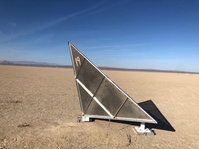
New 2.4 m Rosamond CR #19, mostly East facing
During June 23, 2023 maintenance:
Remeasured the tilt and azimuth of CR#02 and resurveyed CR#27. The new position of CR#27 is < 4 CMS from it original 2014 measurement. Its new position is propagated to its installation date on July 10, 2012, including a south addition of 1.04 cms to account for the Ridgecrest, CA M 7.1 earthquake in July 2019.
Resurveying 4.8 m Rosamond CR #27, mostly East facing
During July 27, 2023 maintenance:
Reconstructed CR#14 but unable to measure new location due to time. Resurveyed CR#23, CR#24, CR#25, CR#26. The new positions of all are < 4 CMS from there original 2014 measurement. Their new positions are propagated to their installation date July 10, 2012, including a south addition of 1.04 cms to account for the Ridgecrest, CA M 7.1 earthquake in July 2019.
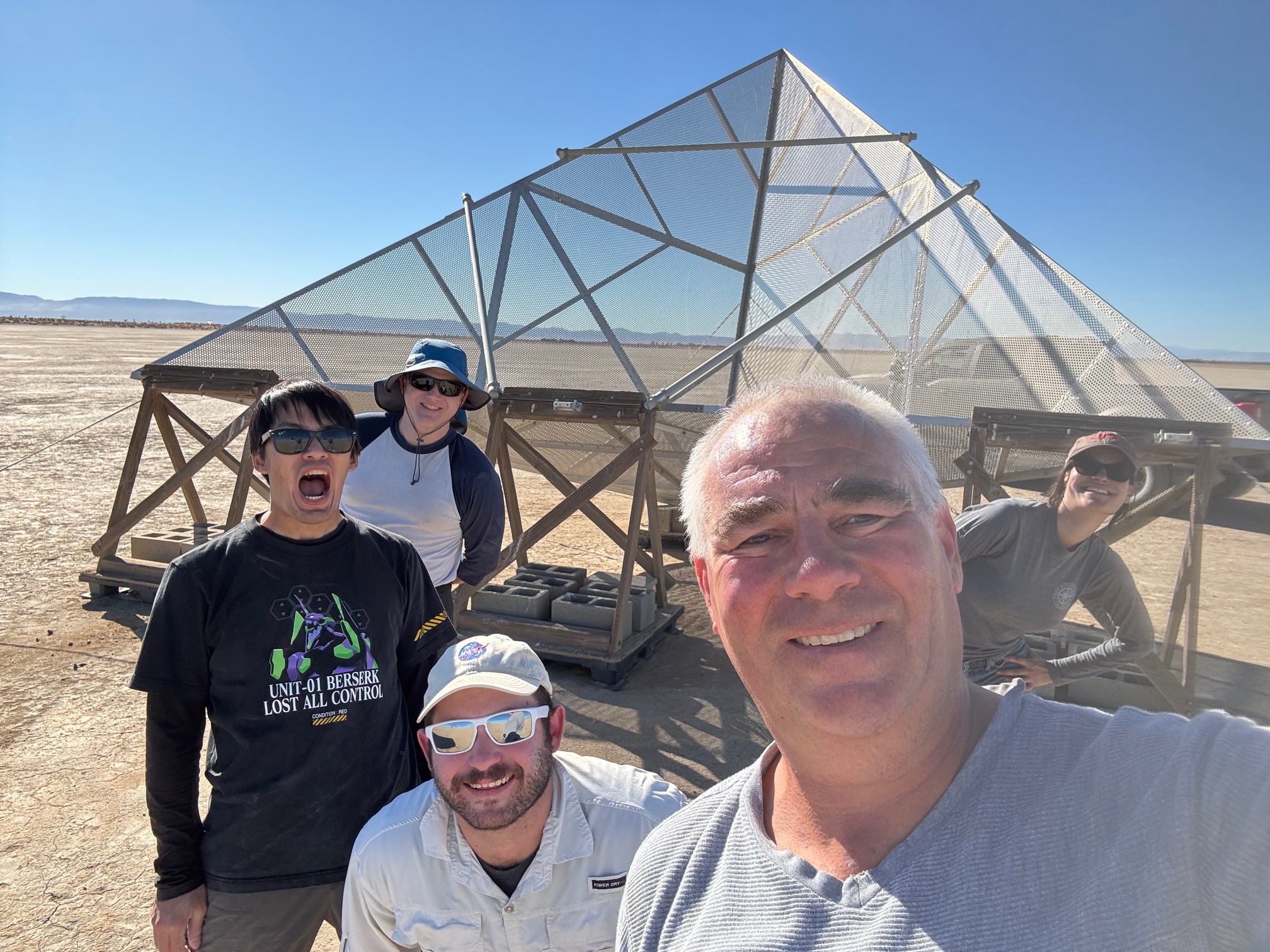
Resurveying 4.8 m Rosaomand Corner Reflector
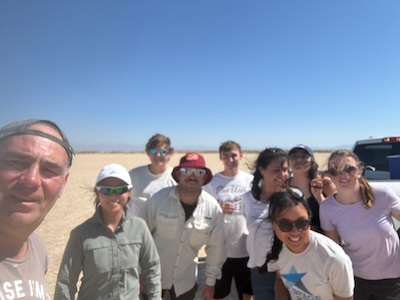
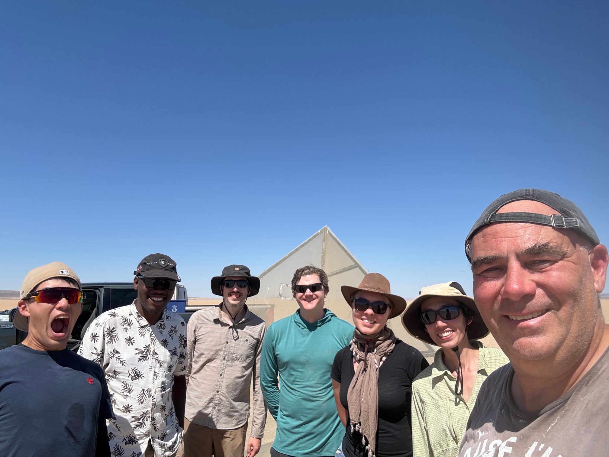
July 27th, 2023, Lakebed Crew
During September 27, 2023 maintenance:
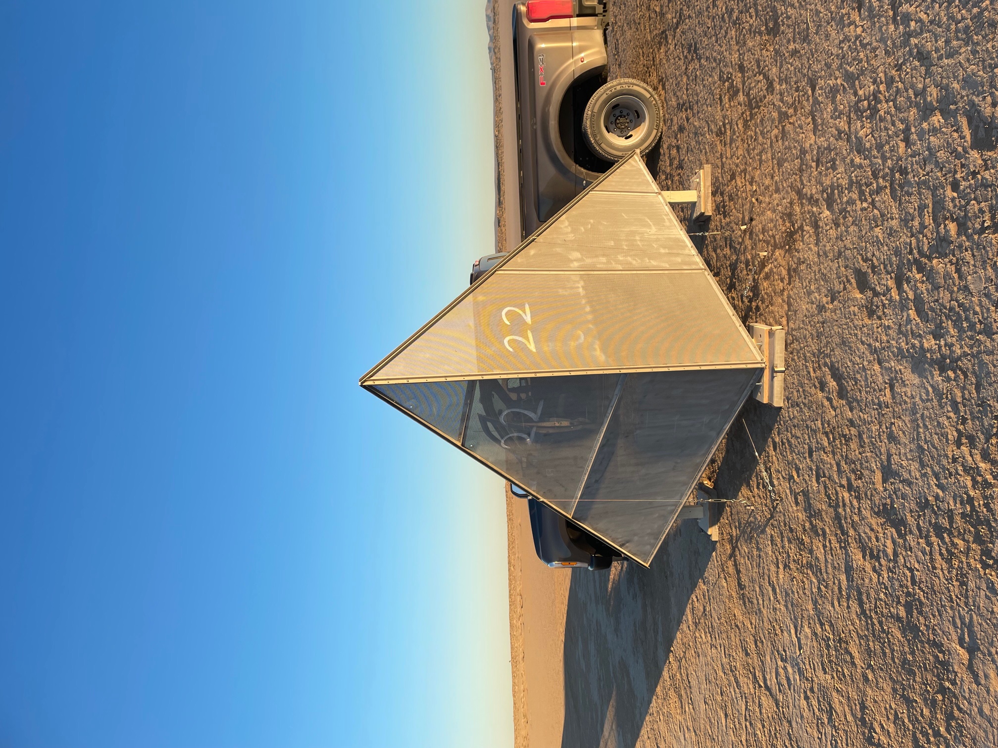
Measured position and tilt of CR#14 and made both retroactive to July 23, 2023, when we moved it 1/2 meters West of its previous location. Reconstructed CR#10 and moved it 4.3 meters West. Reconstructed CR#07 and moved it 2.9 meters West. Both CR#10 and CR#07 were precisely remeasured and their tilts are now 14.6 degrees (CR#10) and 14.7 degrees (CR#07). We found CR#22 which was dislocated by Storm Hillary, however, it was not repairable as it was likely struck by lightning.
CR#22 can be seen overturned in the distance from where it originally was positioned. As a placeholder for this CR, we did position new stands and we anticipate reconstructing this target on our next maintenance trip.
During December 12, 2023 maintenance:
Re-establisted 2.4 m CR#22, however rotated it 20 degrees in azimuth for a new azimuth heading of 10 degrees. The boresight of this CR is now aligned for right-looking descending arcs of SSO platforms. CR#22 is also now elevated to 16 degrees and its new location is 2 m south and 12 m west of its prior location. The position of CR#22 is well determined with 3 hours of GNSS baseline data.
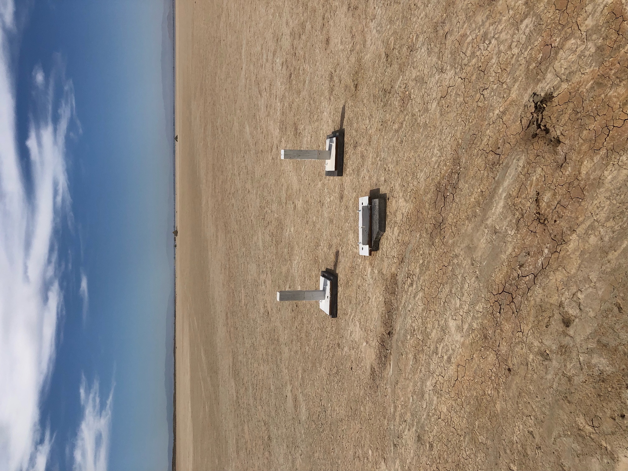
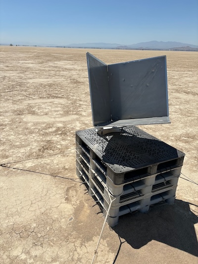
Replaced 0.7 m triangular-trihedral CR#28 with 0.8 m square-trihedral SWOT corner reflector. This also has a 10 degree azimuth heading and is now aligned for right-looking descending arcs of SSO platforms. The elevation of CR#28 is 15 degrees and its new location is 6 m south and 2 m west of its prior location. CR#28 has only 22 minutes of GNSS baseline data and will be resurveyed on the next maintenance trip.
Re-established CR#22.
First SWOT reflector December 12th, 2023 on Lakebed and crew.
During June, 2024 maintenance:
Two maintenance trips occurred in June of 2024. In the first, June 12th, CR#28 was re-measured. This is a 0.8-m square-trihedral corner reflector. Its location was found to be nearly 5 cm high in vertical and 1.2 cm off in North. Its orientation is 11.63 degrees and is tilted at 14.80 degrees in elevation. We additionally swapped CR#34 also with a 0.8-m square-trihedral corner reflector. Its orientation is 350.54 degrees, and it is tilted 19.50 degrees in elevation. In addition, CR#03 was moved 6.3 meters west of its previous location and elevated to 15.67 degrees tilt. It was also discovered that CR#22 was overturned. In the second maintenance trip, June 20th, CR#22 was reconstructed, with a heading of 10.82 degrees and an elevation of 16.23 degrees.
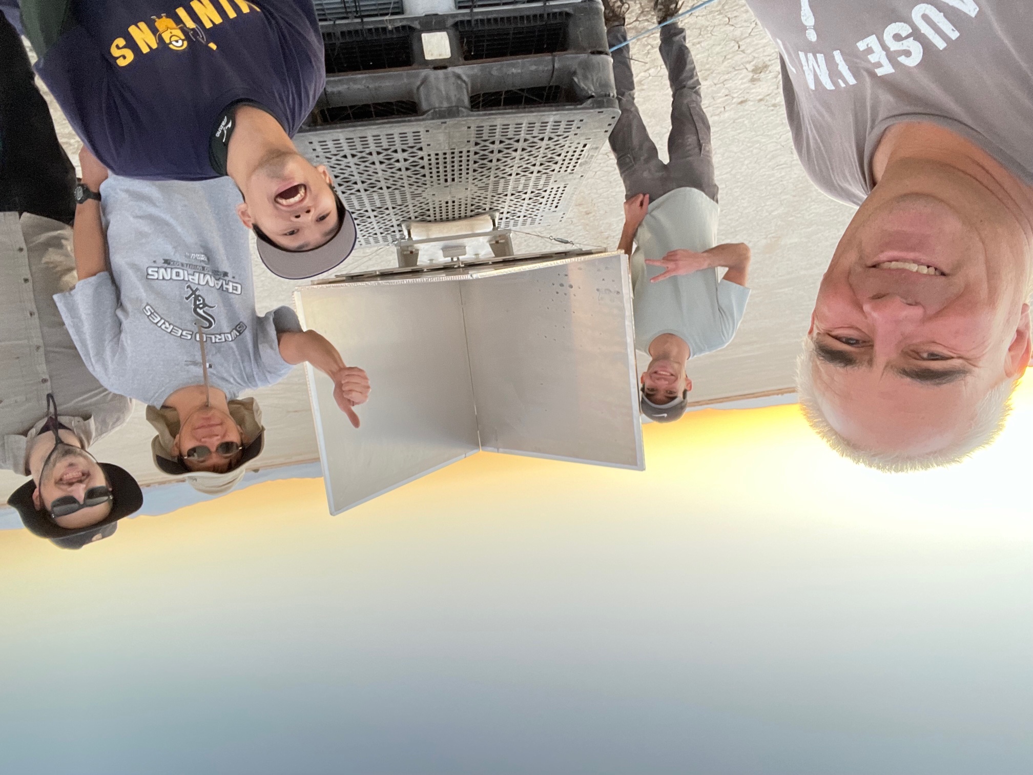
0.8-m square-trihedral corner reflectors CR28 and CR34, and crew.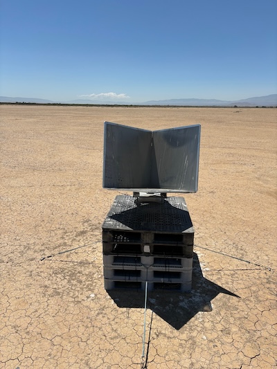
During December 4, 2024 maintenance:
Maintenance only with no changes to the array. Measured all tilts and azimuth headings and updated data bases.
During June 18, 2025 maintenance:
Replaced stands on 170-heading CR#06, and moved it 5 meters west of its prior location and now elevated to 14.87 degrees. Remeasured location of 350-heading corners CR#15 and CR#19. Remeasured locations of CR#15 changed ~2.6 cm in North and CR#19 changed ~3.8 cm in North, with other components < 1/2 cm change.
Corner Reflector (CR) Data
Use the 'Get Corner Reflector Data' button to retrieve the vertices of the the Rosamond corner reflectors (latitude, longitude, orientation, etc) for a particular date. Data goes back to January 1, 2000. Output is a comma-separated value (CSV) file.
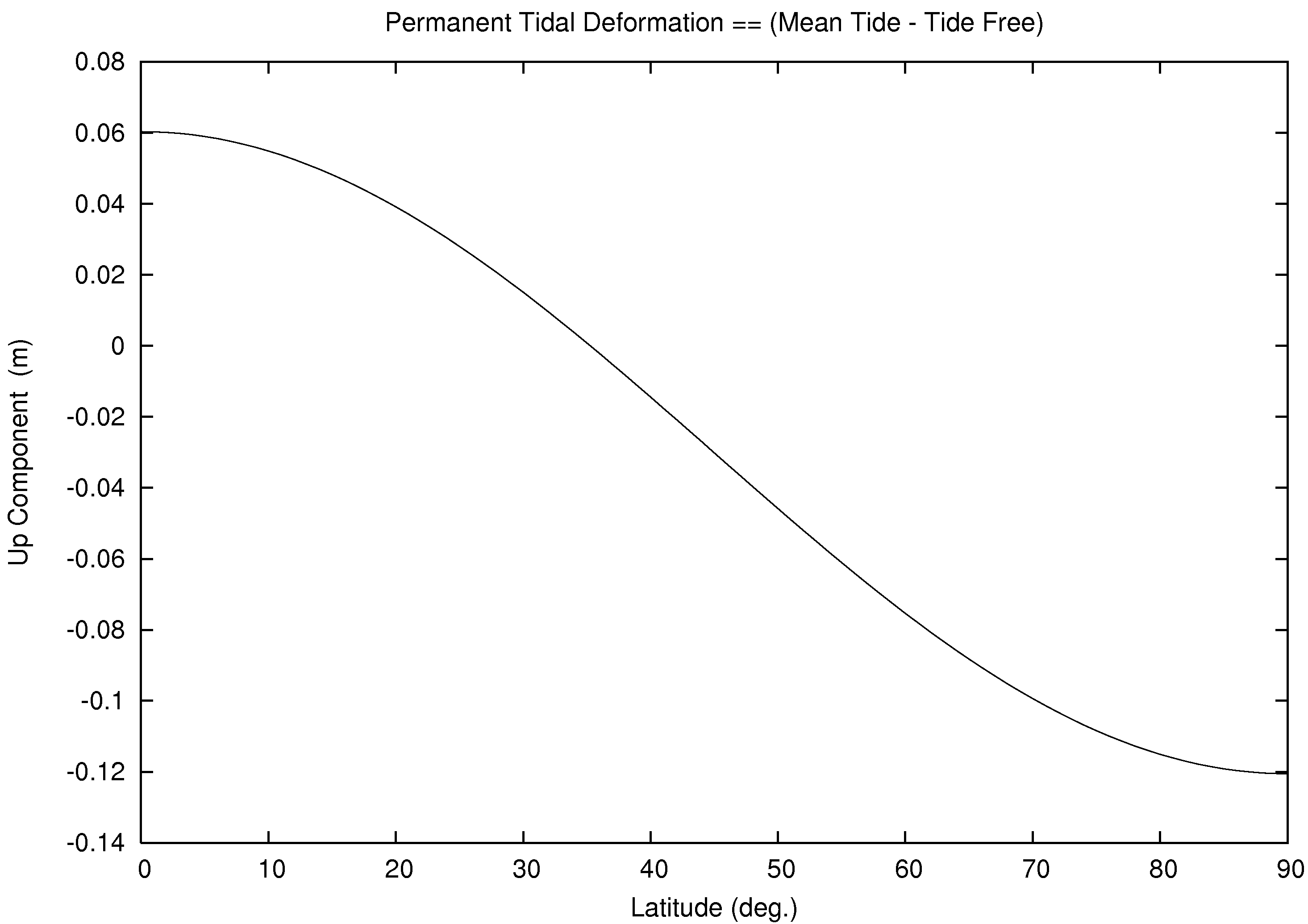
Select type tide-free for conventional tide-free crust (ITRF), select type instantaneous-crust for instantanous observed crust, and select type mean-crust for permanent tide. See for example, terrestial reference systems, particulary Figure 1.1 for additional information. The entered data applies the plate motion model as described above. The date also applies the solid tide, pole tide, and ocean tide with the FES2014b Ocean Tide Model and center of mass due to both solid Earth and ocean. The reference system instantaneous-crust is a function of latitude, longitude, and the entered time. The reference system mean-crust is a function of latitude only. See for example, permanent tide deformation.
Coordinate Type:
Get Corner Reflector Data
Use the 'Get Tide Data' button to retrieve 48 hours of the tide perturbations centered at the entered date.
Get Tide Data
Contact:
Alexandra Christensen
Jet Propulsion Laboratory
Mail Stop 300-149
4800 Oak Grove Drive
Pasadena, California, 91109
Tel: (818) 393-9004
Email: alexandra.l.christensen@jpl.nasa.gov