
Last Flight Flown: PLAN_26030 (Jun 13, 2026)
L-band. Location: Texas
L-band. Location: Texas
Last Image Released:
Pacaya_31712 (PolSAR)
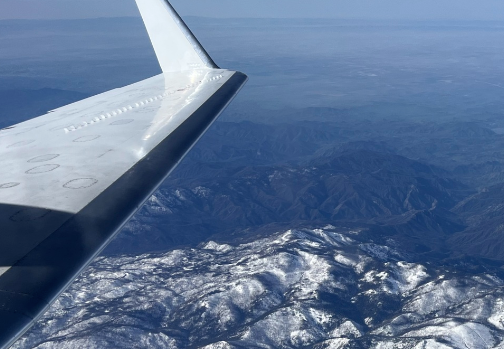
L-band. Acquired May 31, 2026
Pacaya-Samiria National Park, Peru
L-band. Acquired May 31, 2026
Pacaya-Samiria National Park, Peru


US Embassy Welcomes NASA Aircraft and Scientists to Panama
The United States Embassy in Panama welcomes NASA's Gulfstream C-20A research aircraft and team of scientists visiting today through May 9 as part of a science campaign to study tropical biodiversity UAVSAR observations advance snow monitoring
SnowEx campaign results enable high-resolution snowpack monitoring with the NISAR satellite. NASA Uses Advanced Radar to Track Groundwater in California
Mapping water recharge signatures with interferometric SAR
Science & Applications
NewsCalendar
Featured Articles
Deployments
Applications
Publications
Workshops
Team Profile
Flight Request Instructions
Documents
Technology
UAVSAR-LUAVSAR-P
UAVSAR-Ka
Calibration
Aircraft
Processing
Education
What is UAVSAR?UAVSAR Operations
Postcards
How We Became Radar Scientists/Engineers
Lesson Plans
Image Gallery
Tools
Flight PlanningData Search
Track NASA G3
Flight Search
Related Links
Contact Us