The UAVSAR Team
There are three main groups of people with a variety of backgrounds who work on the UAVSAR project, from engineers to pilots to scientists and more.
1. Scientists (NASA, universities, government)
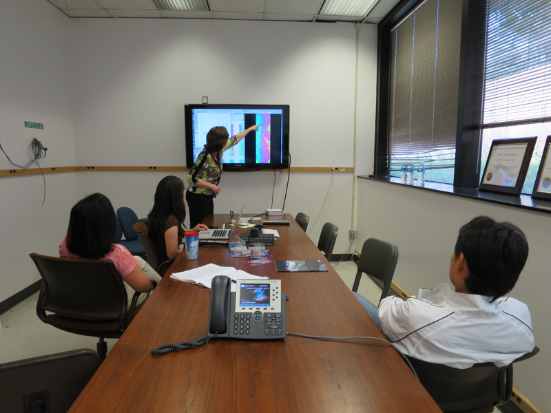
UAVSAR scientists from NASA, universities, or the government compare and analyze the data that are collected after each UAVSAR flight. Sometimes they are also on the ground collecting field data during the flights. By integrating field data with radar images, it is possible to study processes such as earthquakes, volcanic eruptions, and the water cycle. As a remote sensing tool, radar images help scientists answer a broad range of earth science questions related to natural disasters, the carbon cycle, and climate change.
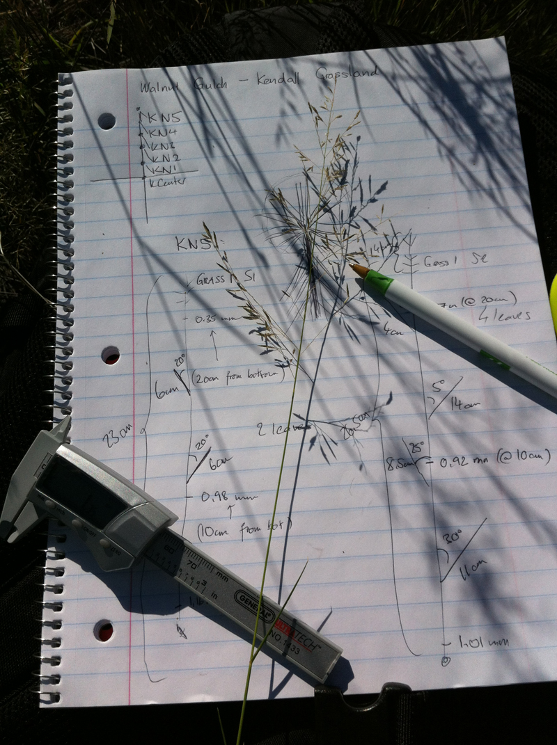
A data sheet for keeping track of vegetation
sampling at Kendall Grassland, Arizona
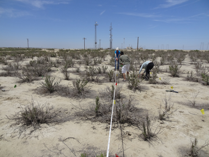
Sab (remote sensing scientist) and
colleagues measure vegetation
density at San Joaquin Valley
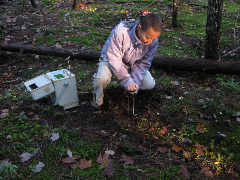
My-Linh (remote sensing scientist) pushes a
30-cm soil moisture probe into the
ground in Howland Forest
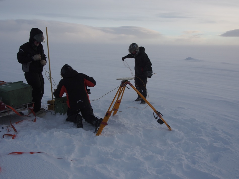
Brent (geophysicist) and
colleagues install a GPS station
in Iceland
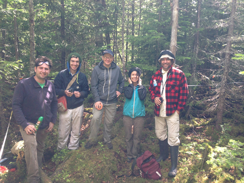
JPL scientists and Canadian researchers
make measurements of tree heights and diameters at
Jacques-Cartier National Park in Quebec, Canada
2. NASA Armstrong Flight Research Center (Pilots, engineers, mechanics)
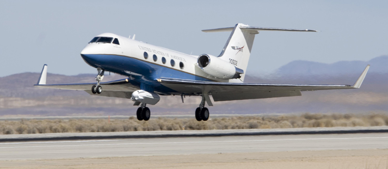
The crew at AFRC manages the Gulfstream-III jet that flies the UAVSAR radar. Engineers help develop and manage the technology on the airplane, including the Platform Precision Autopilot (PPA) which flies the plane in a very accurate flight path while collecting data. Pilots prepare flight plans for submission to Air Traffic Control and fly the plane to the designated flight lines where the PPA takes over. Mechanics check and maintain the plane's mechanical and electrical systems to make sure the plane is ready to fly safely. The plane undergoes scheduled calendar maintenance 2-3 times a year for 4-6 weeks at a time. During this time, the crew does an in-depth inspection, takes apart the plane components, verifies measurements and seals, and replaces necessary components.
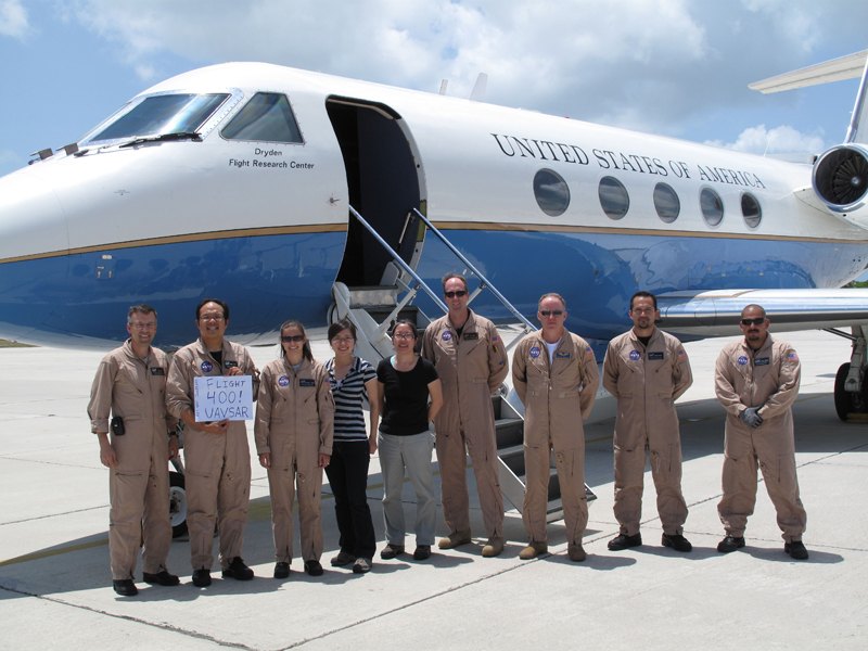
The flight crew before UAVSAR's 400th flight
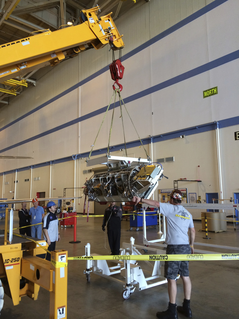
The ground crew removes
the pod from the plane

The UAVSAR radar pod is mounted
below the plane
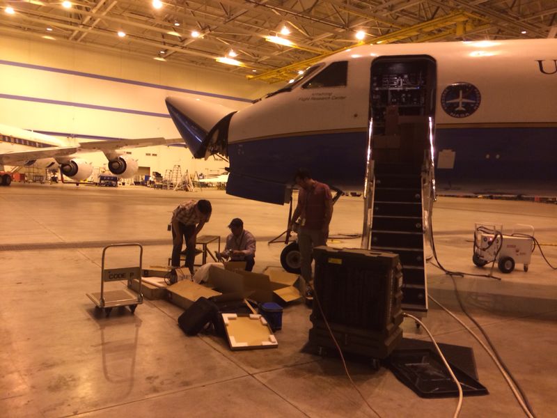
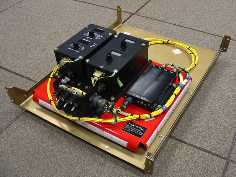
The crew does measurements in the nose of
the plane and replaces computers for
instrumentation during routine maintenance
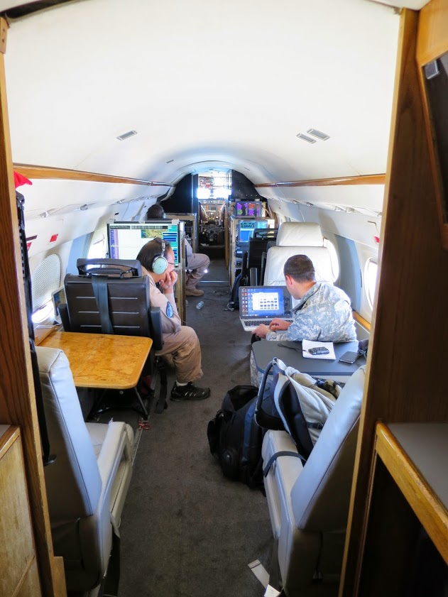
Inside the airplane cabin
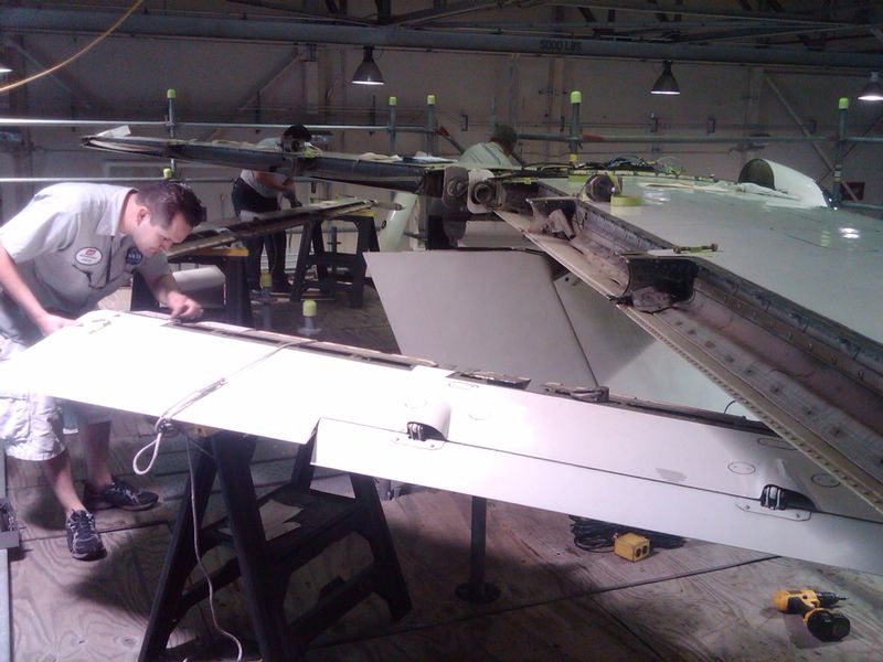
Carlos (avionics engineer technician)
opens up the plane's wing to inspect the
flight control for cracks or any wear and tear
3. NASA-Caltech Jet Propulsion Laboratory (Engineers, mechanics, investigators)
The UAVSAR team at JPL designed and built UAVSAR. The radar electronics and antenna are located in the pod
mounted below the fuselage of the plane. The JPL team is constantly working on improving the hardware and implementing new features. They are also in charge of managing all the UAVSAR operations, such as the radar operations during flight, and designing the flight plans that meet the science objectives as well as the budgetary and logistical constraints. The JPL team also processes the SAR data after each flight, producing the final radar images that are used for the science investigations. The JPL team maintains a calibration array in the Rosamond Dry Lake in Southern California that plays an important role in the calibration activities to insure that the measurements are not only consistent, but physically meaningful quantities. The UAVSAR processing team, which regularly pursues enhancements in the processing software for producing the highest quality imagery, uses supercomputers at JPL and NASA's Ames Research Center to process the data. The final, released products are then archived at the Alaska Satellite Facility (ASF).
Yunling (UAVSAR project manager) talks to students in Lima, Peru
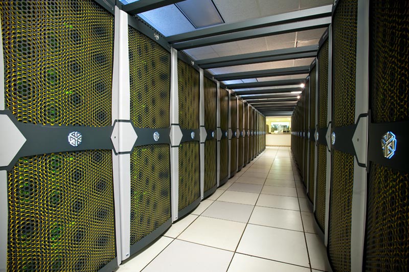
The UAVSAR team uses the
Pleiades super computer at Ames
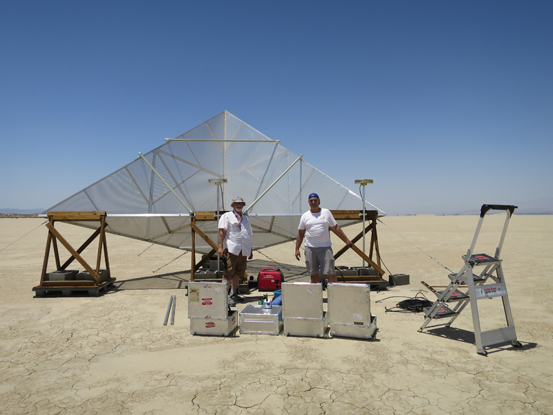
Ron (engineer) and colleague measure a P-band
corner reflector at Rosamond dry lake
bed in California
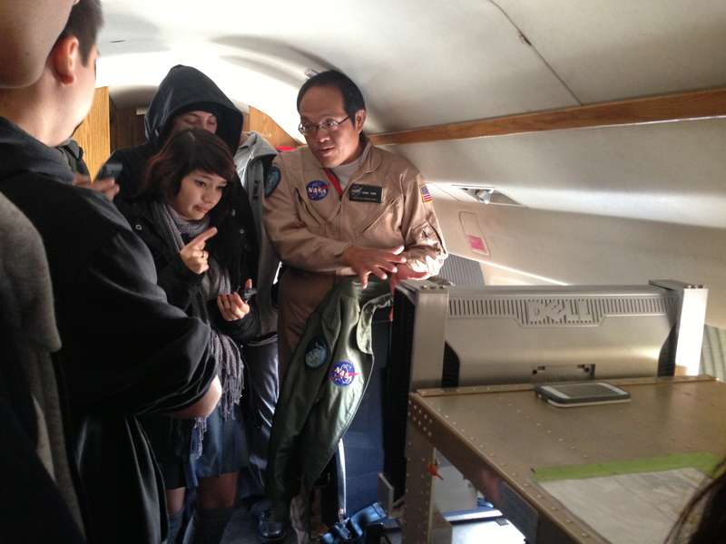
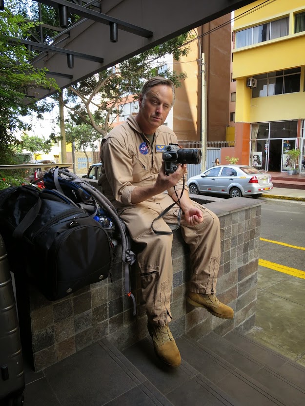
Roger (radar operator) explains
his job to Chilean students
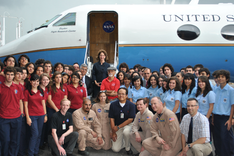
Students in Costa Rica visit the plane
Members of the processing team analyze
radar images for any errors
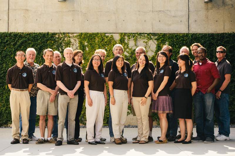
The UAVSAR team at JPL
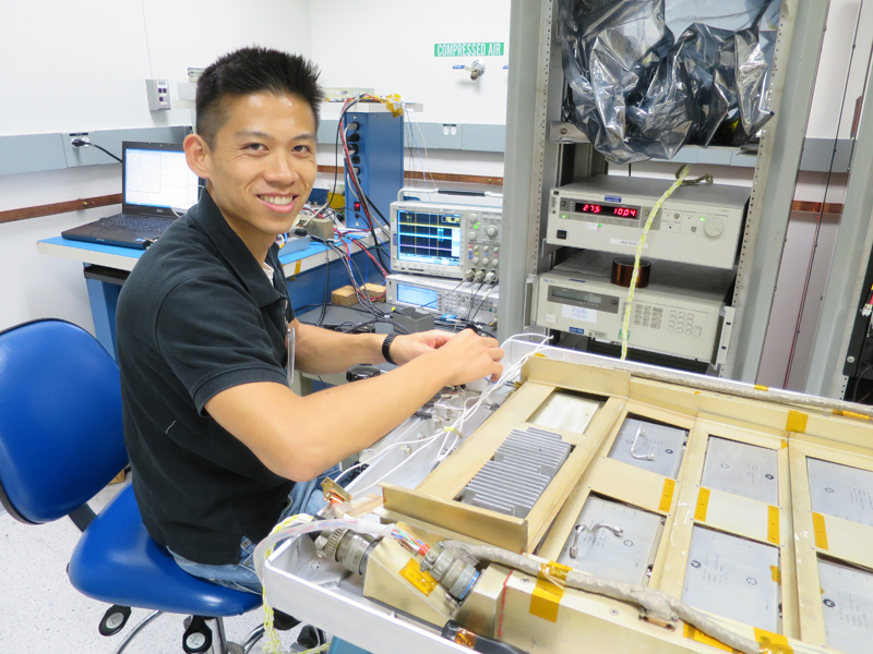
Kean (electrical engineer) checks the connection
between different parts of the radar hardware
Find out who flies on the plane
The Flight Crew
A minimum of four people must fly on every flight. Sometimes scientists, news reporters, and other special guests get to fly as well. On deployment, everyone on the team (mechanics, crew chief, DTS operator, etc) flies on transits from one airport to another.
2 Pilots
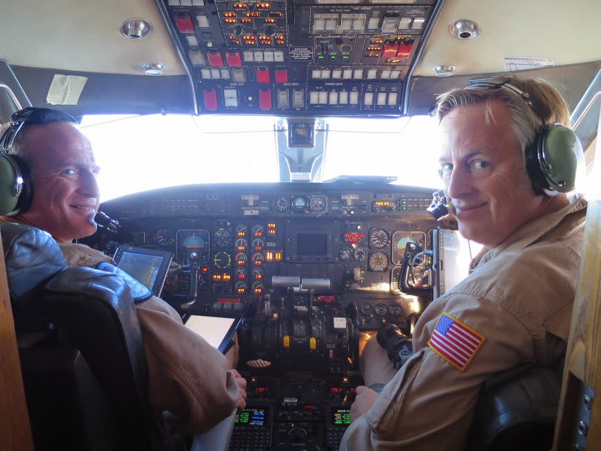
Flying the plane over Chile
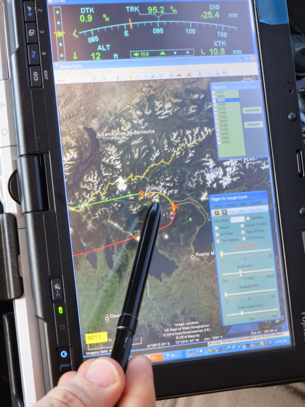
The pilots use tablets to help
keep track of the flight path
Before the flight, the pilots prepare the final flight plans and send them to air traffic control centers and, if applicable, foreign embassies. They takeoff, land, and fly the Gulfstream-III jet to the designated flight lines.
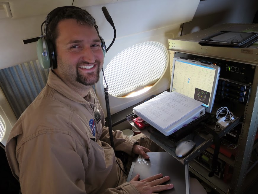
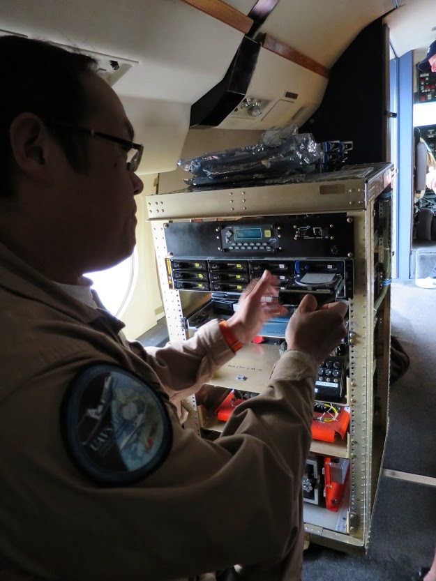
1 Radar Operator
The radar operator uses a special computer to turn on the radar and monitor it for any issues. Sometimes there is a problem with the radar hardware mid-flight and the operator is in charge of figuring out what is wrong and trying to fix it.
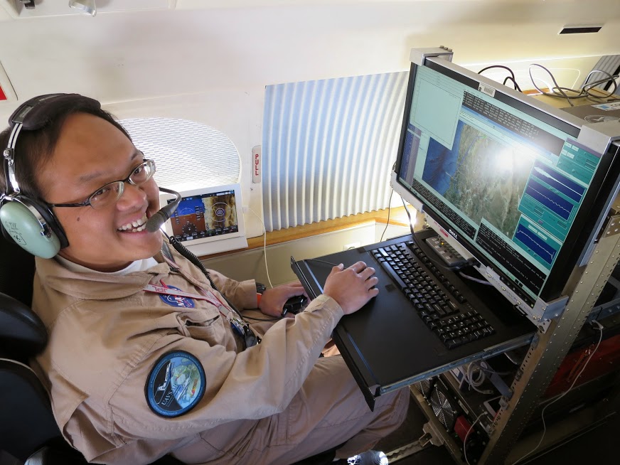
The radar operator makes sure
the radar is working correctly
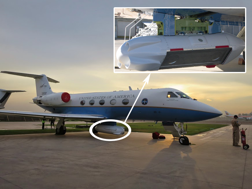
UAVSAR is mounted in
a pod below the plane
1 Precision Auto Pilot (PPA) Operator
The Platform Precision Autopilot (PPA)
was developed at Armstrong
Flight Research Center
The PPA operator monitors the flight trajectory
The operator is in charge of turning on the Platform Precision Autopilot (PPA) instrument and monitoring it for any possible problems. The PPA accurately flies the plane while the radar is collecting data. It controls the airplane so it can fly the same flight path within a 10 meter (33 ft) diameter tube for hundreds of kilometers at a time. This is important to scientists who want to track the change on the surface of the earth from one flight to the next to study features like glaciers, earthquakes, and volcanoes.
April 24, 2014 in Santiago, Chile
One day on UAVSAR's 2014 Central & South America Deployment
5:30am
Yunling (UAVSAR project manager), Naiara (science coordinator), and Sarah (DTS operator) arrive in Santiago, Chile after a 12 hour red-eye flight from Los Angeles (with a layover in Panama City). Yunling and Naiara have come on deployment to attend various outreach events. Naiara also does last minute flight planning when changes need to be made. Sarah is replacing Ron for the second shift of the deployment as Data Transfer System (DTS) operator. The ladies check-in at the hotel, conveniently located across the street from the airport.
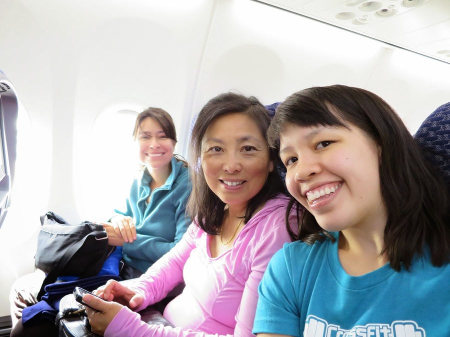
Naiara (left), Yunling (center), and
Sarah (right) are ready to leave LAX

Room at the Holiday Inn
6am
Typically 2-3 hours before takeoff, the ground crew arrives at the airport to perform a pre-flight inspection. The crew consists of the project manager, crew chief, avionics engineer technician, and quality assurance (QA) inspector.
The inspection includes:
- Inspecting the airplane externally and internally
- Making sure the operating systems on the plane are functioning, for example the navigation, flight controls, engines, oils, emergency lights, etc
- Check the primary, secondary, and backup systems
- When everything checks out 100%, document everything (even changing a light bulb) and submit the paperwork to NASA
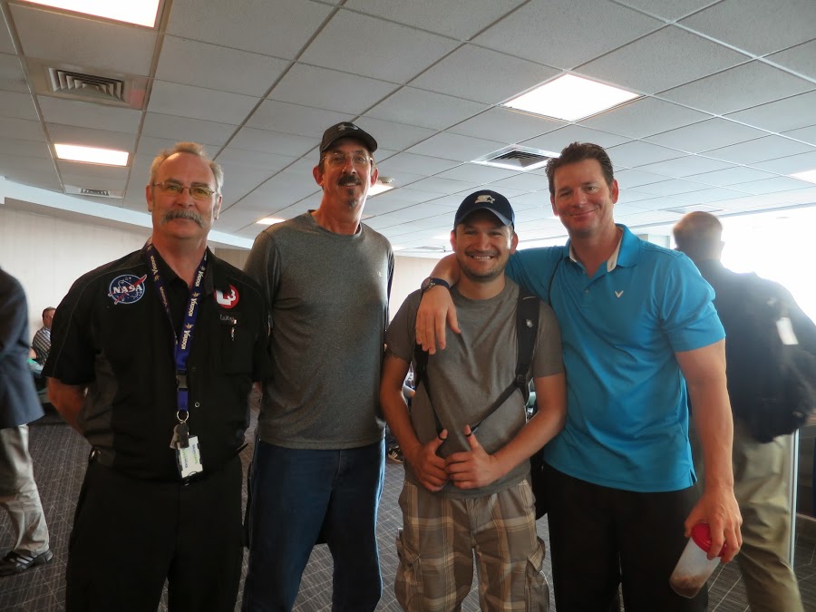
From left to right: LeRoy (QA inspector), Corry
(crew chief), Carlos (avionics engineer technician),
and John (project manager)
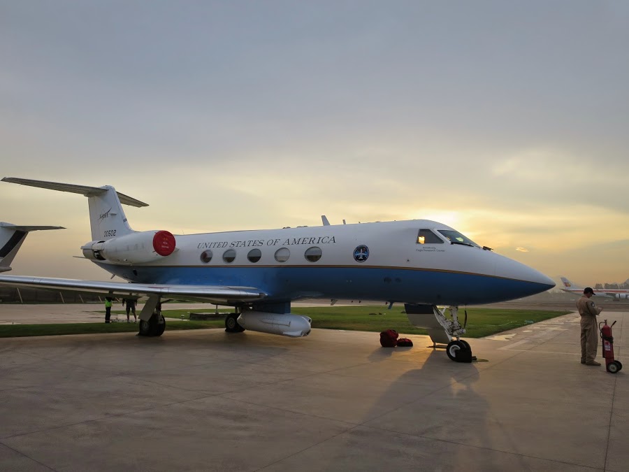
The UAVSAR radar pod is mounted
below the Gulfstream-III jet
7am
Stu (pilot) waits for a taxi outside the hotel
The rest of the flight crew -- pilots, radar operator, PPA operator -- prepare to leave the hotel (no DTS operator today). It takes one hour to get to the airport.
8am
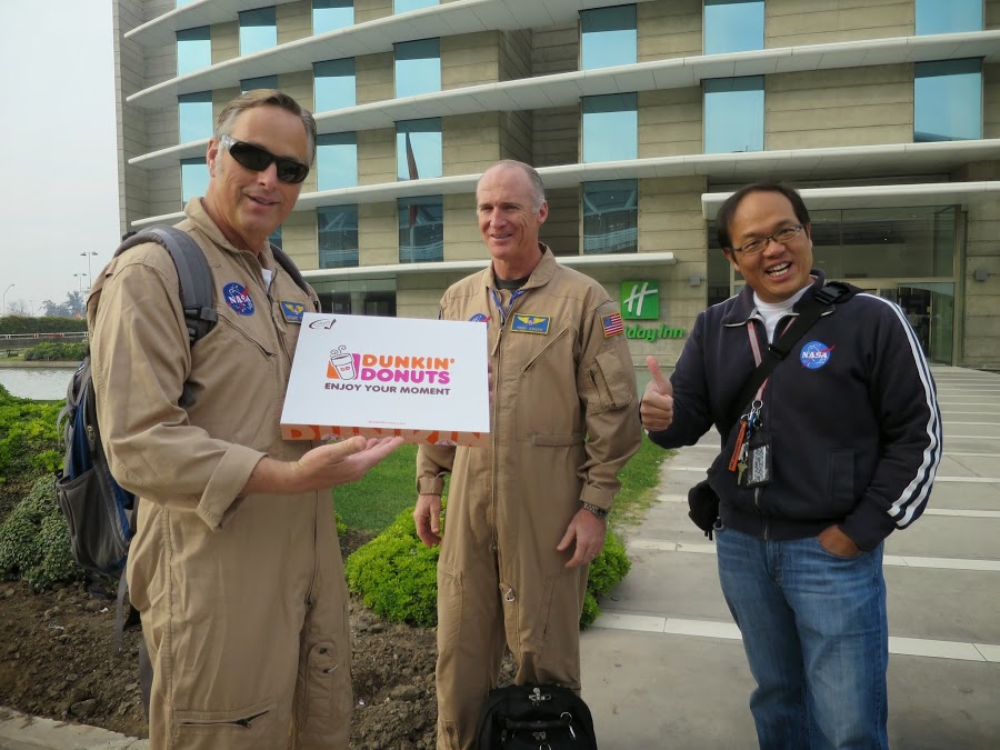
From left to right: Stu (pilot), Troy (pilot), and
Roger (radar operator) bring a morning snack
The flight crew arrives at the airport one hour before takeoff. Before the flight, the pilots prepared the final flight plans and submitted the appropriate documentation to the air traffic control centers and foreign embassies for the flight.
9am
UAVSAR takes off from Antofagasta, Chile on flight 14048 (48th flight of 2014). Data are collected over Chile and Argentina for scientists who study volcanoes, glaciers, and soil moisture.
Naiara created the initial flight plan (the pilots make the final one) with UAVSAR's Web Flight Planning Tool.
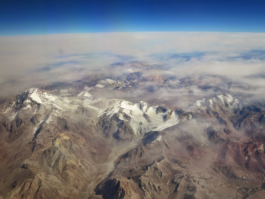
Glaciers seen from the plane
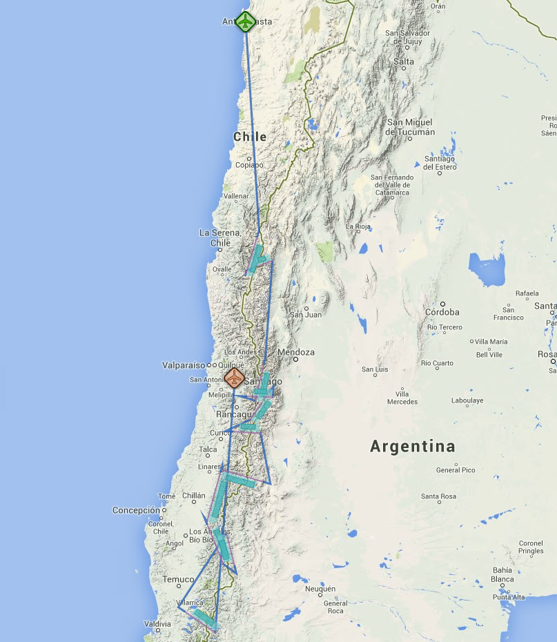
The flight plan is created with
UAVSAR's Web Flight Planning Tool
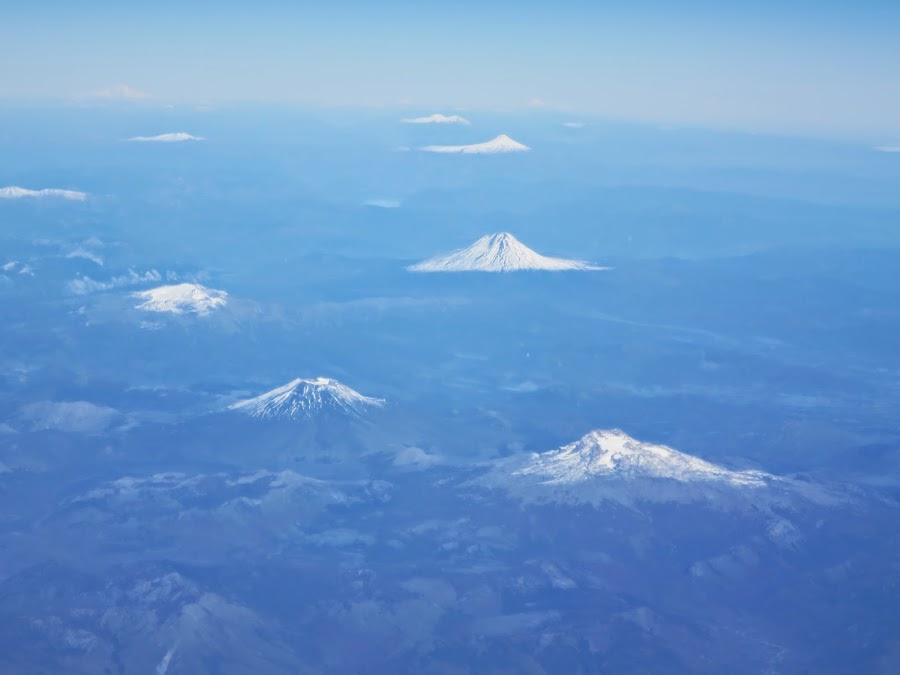
Several volcanoes in close proximity to each other
3pm
UAVSAR lands in Santiago, Chile. Much like the pre-flight inspection, the ground crew stays at the airport longer to perform a post-flight inspection. The rest of the team goes to the hotel.
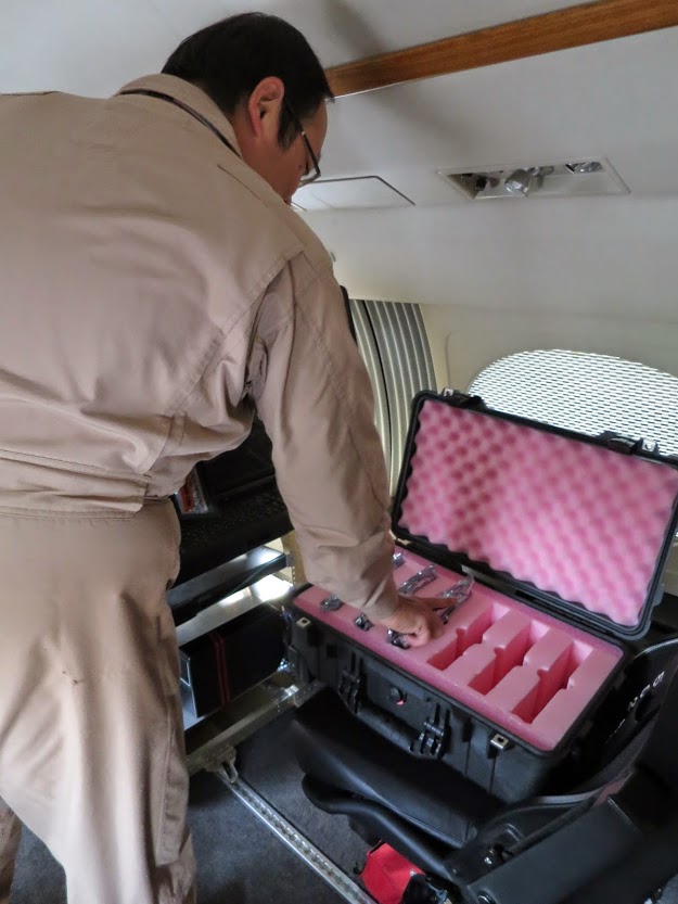
He stores the six drives in a case
to be taken to the hotel to be downloaded
Roger (radar operator) removes the
hard drives that store the raw data
4pm
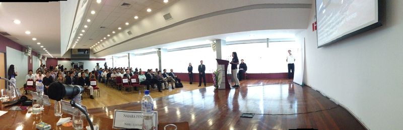
Yunling, Naiara, Sarah, and Paul (volcanologist) participate in a panel discussion at CONICYT in downtown Santiago, Chile. CONICYT is Chile's equivalent to the NSF and funds all research in the country.
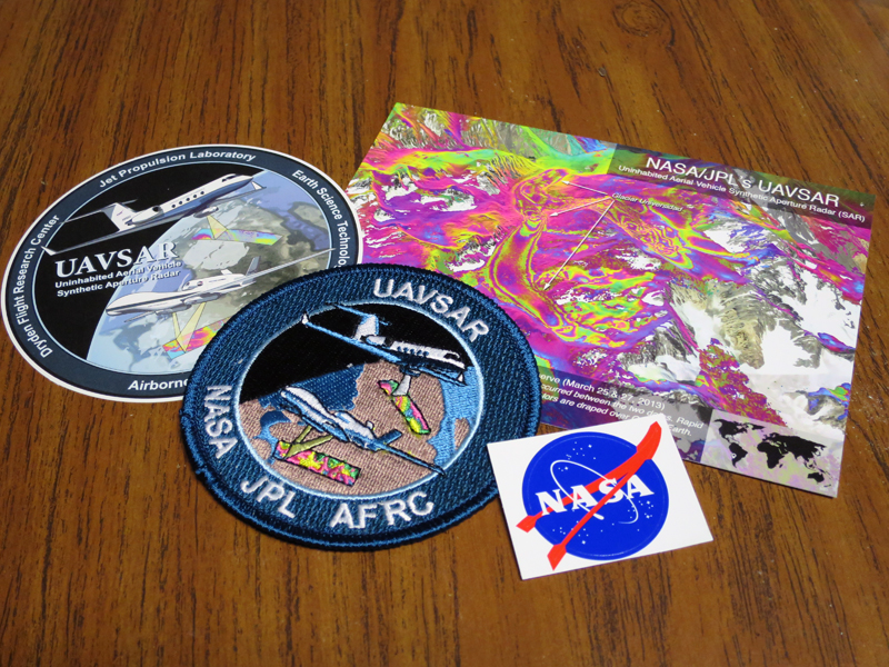
The team conducted community outreach by passing
out postcards, stickers, and patches

It was a 2-hour event
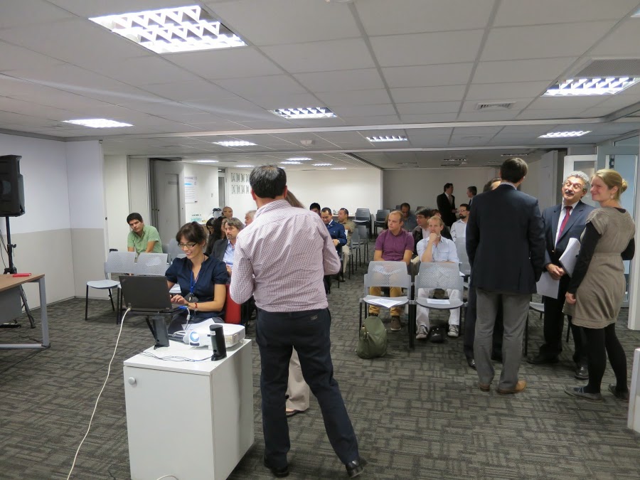
Attendees included local scientists,
government officials, and students

Presenters from left to right:
Yunling, Naiara, Paul, and Gonzalo

Gonzalo (Director of International Cooperation
at CONICYT) introduces the UAVSAR speakers
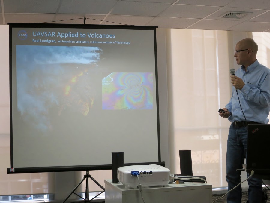
Paul (volcanologist) presented his
volcano research using UAVSAR data
6pm
The ground crew finishes up the post-flight inspection, which takes 2-3 hours after landing. They repair whatever needs to be repaired and submit the paperwork before heading to the hotel.
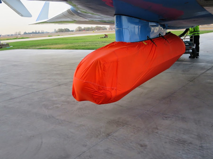
The radar pod is covered to protect it
from things like excessive moisture
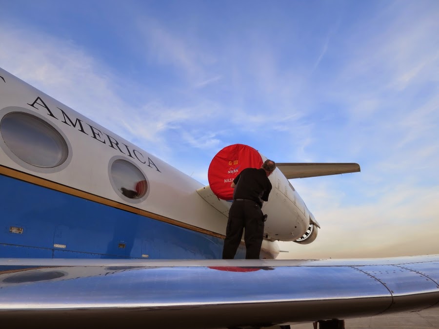
The crew also covers the engines
8pm
Chileans don't start eating dinner until at least 8-9pm. After the CONICYT event, Gonzalo takes the UAVSAR team to Bocanariz, a restaurant in Santiago.
9pm
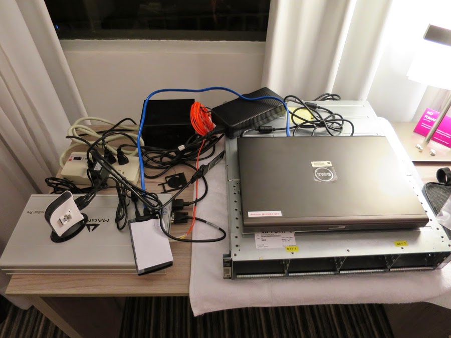
Two copies of the data are made on small, external hard drives: one to be
shipped back to JPL and the other for the DTS operator to hand-carry back
Sarah meets up with Ron at the hotel to download the data. Ron has been the Data Transfer System (DTS) operator for two weeks and Sarah is taking his place for the last two weeks of the deployment. They finish downloading the data around midnight and clear the six hard disks for the next flight.
Weeks later, back at JPL...
The UAVSAR processing team makes final products with the data.
Here are some samples. View more data processed from this flight here.
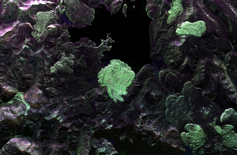
Polarimetric (PolSAR) radar image of
Laguna del Maule volcano
View the product
here
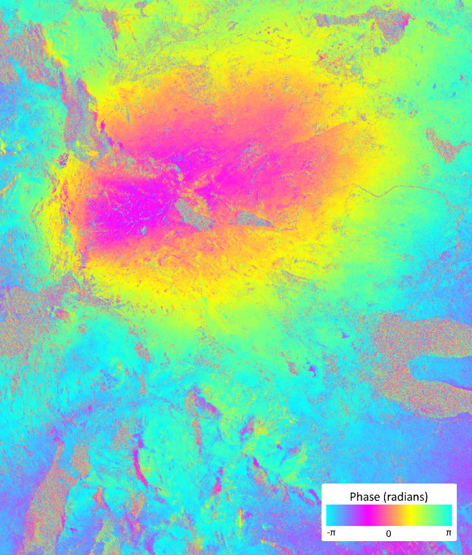
Interofermetric (InSAR) radar image
showing movement of Chile's
Copahue volcano over one year
View the product
here
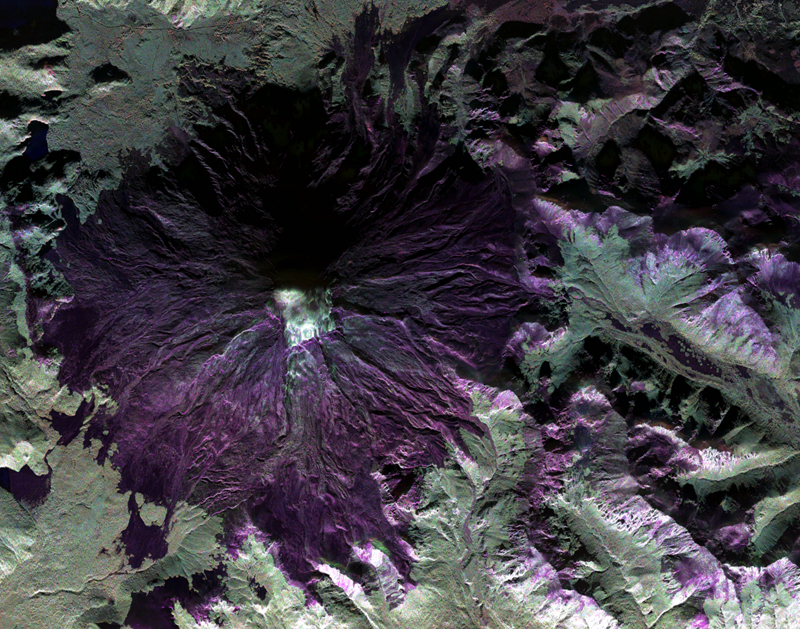
Polarimetric (PolSAR) radar image of Lanin volcano which is partially covered by glaciers.
View the product
here
Find out who's on the team