
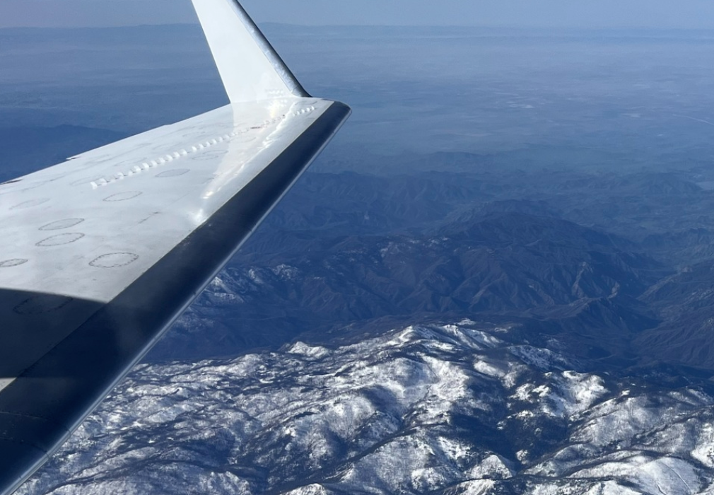
Last Flight Flown: PLAN_25033 (Nov 24, 2025)
L-band. Location: California
L-band. Location: California
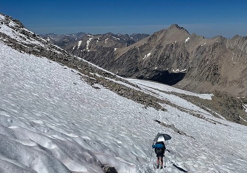
UAVSAR observations advance snow monitoring
SnowEx campaign results enable high-resolution snowpack monitoring with the NISAR satellite. NASA Uses Advanced Radar to Track Groundwater in California
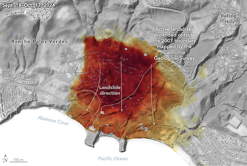
Mapping water recharge signatures with interferometric SAR UAVSAR Imagery Reveals Details About Los Angeles-Area Landslides
Change detection analyses show ground movement following record-breaking rainfall in Southern California in 2023 and another heavy-precipitation winter in 2024.
SnowEx campaign results enable high-resolution snowpack monitoring with the NISAR satellite. NASA Uses Advanced Radar to Track Groundwater in California
Mapping water recharge signatures with interferometric SAR UAVSAR Imagery Reveals Details About Los Angeles-Area Landslides
Change detection analyses show ground movement following record-breaking rainfall in Southern California in 2023 and another heavy-precipitation winter in 2024.
Science & Applications
NewsCalendar
Featured Articles
Deployments
Applications
Publications
Workshops
Team Profile
Flight Request Instructions
Documents
Technology
UAVSAR-LUAVSAR-P
UAVSAR-Ka
Calibration
Aircraft
Processing
Education
What is UAVSAR?UAVSAR Operations
Postcards
How We Became Radar Scientists/Engineers
Lesson Plans
Image Gallery
Tools
Flight PlanningData Search
Track NASA G3
Flight Search
Related Links
Contact Us