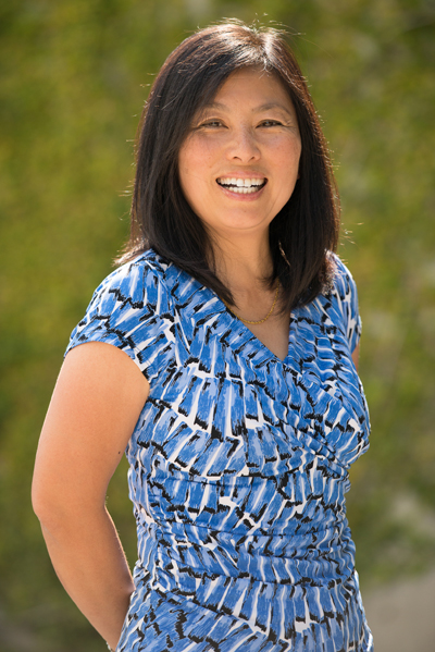
An Interview with Yunling Lou

Where are you from?
Singapore.
What did you want to be growing up?
Something challenging in the field of science.
Where did you go to school?
University of Texas at Austin and the University of Pennsylvania.
What kind of student were you?
I was a good student; I always did my homework and studied for my tests. I was lucky to have attended good schools where teachers made learning interesting.
What was the best class you ever took and why?
Complex Variables in college -- the professor was really good and I realized everything in physics relies on analysis tools based in complex variables.
What is your degree in?
Electrical engineering.
When did you decide to pursue a career in the sciences?
Junior in high school -- because my dad is an engineer and I wanted to work on technologies that make computers work faster.
Where have you worked?
University of Pennsylvania (I was working in the radar lab analyzing data from a ground-based radar designed to detect aircrafts) and JPL.
How and when did you start working at JPL?
Came to JPL straight out of graduate school after I heard a talk about the cool things that JPL does. Dr. Curlander showed us images of Jupiter and Saturn from the Voyager missions and the shuttle radar that they were developing to fly on the space shuttle.
What is your job title?
Project manager of UAVSAR and AirMOSS.
What do you do at your job?
For UAVSAR, I work with NASA HQ to determine the airborne science campaigns we support and budget every year and schedule for our operations. I then work with the scientists to make sure we have a good understanding of their science objectives. To meet these science objectives, I make sure that our team does a good job building or maintaining the radar to conduct successful science campaigns, and subsequently processing the radar data properly and expediently so our investigators can conduct their research with the highest quality data possible.
What is the coolest/most enjoyable part of your job?
The coolest part of my job is I get to travel to unusual places (wherever the science takes us) for science campaigns and seeing the radar imagery afterwards detailing interesting results. For example, I got to fly over the Antarctic Peninsula to image receding glaciers and sea ice. I also got to fly over Cambodia to image Ankor Watt, one of the largest religious compounds in the world built in the 12th century. Archaeologists used airborne radar data to discover previous unknown settlements covered by forest canopy.
Why is doing what you do important?
We are helping scientists use radar remote sensing as an efficient tool to acquire the data they need to conduct research to model earthquake and volcanic activities, to monitor our environment such as forest health and soil moisture, which are important factors to the carbon cycle, and to monitor the integrity of important manmade structures such as levees and dams.
