The Collection of L- and S-band Synthetic Aperture Radar Imagery over North America
Background
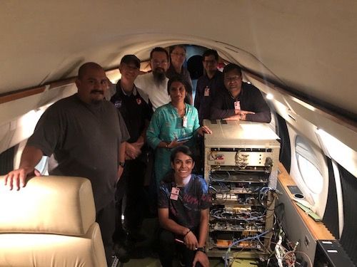 ASAR team and flight crew on the Gulfstream-III
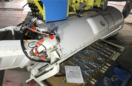
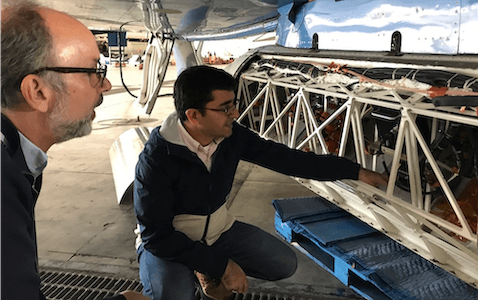
The ISRO L- & S-band Airborne SAR (ASAR) instrument is a testbed for the NISAR mission. NASA and ISRO collaborated to conduct simultaneous collection of L- & S-band (24 and 9 cm wavelengths) Synthetic Aperture Radar (SAR) imagery over selected North American sites for the development and refinement of algorithms in advance of the NISAR Mission anticipated to launch in 2022. ASAR was repackaged for installation aboard the NASA’s C-20A (Gulfstream-III) and by utilizing the antenna pod and navigation package for the NASA UAVSAR radar system.
Science
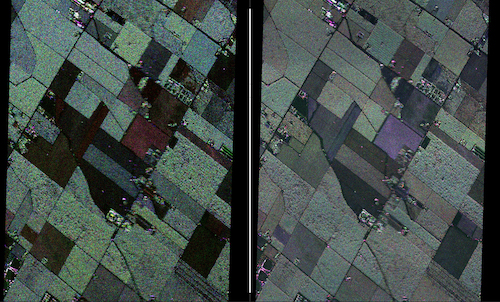 L-band (left) and S-band (right) full pol images (75MHz bandwidth) over the
California Central Valley, collected during the 1st airborne campaign
Dec 2–20, 2019. VV: Red, HV: Green, HH: Blue.
The North America ISRO-ASAR science campaign sites were jointly selected by NASA’s ASAR Science Team and ISRO’s NISAR science team to support Earth science and applications research topics. Phase 1 of the campaign took place from December 4–16, 2019. The science topics range from Cryosphere (glaciers, sea ice, freeze/thaw), Hydrology (soil moisture, snow, lakes/rivers), Earth Surface and Interior (lava flow geology, landslides, volcanic processes), and Terrestrial Ecology (biomass, agriculture, forest), Applications (oil spills), permafrost, and calibration/validation.