Deployment not found. Please find a deployment on the search page.
TropiSAR 2026 Deployment (L-band)
May 1–May 31, 2026
Image credit: E. Podest / NASA JPL
This deployment is open to flight request submissions through the SOFRS page. If you need any assistance, please contact us.
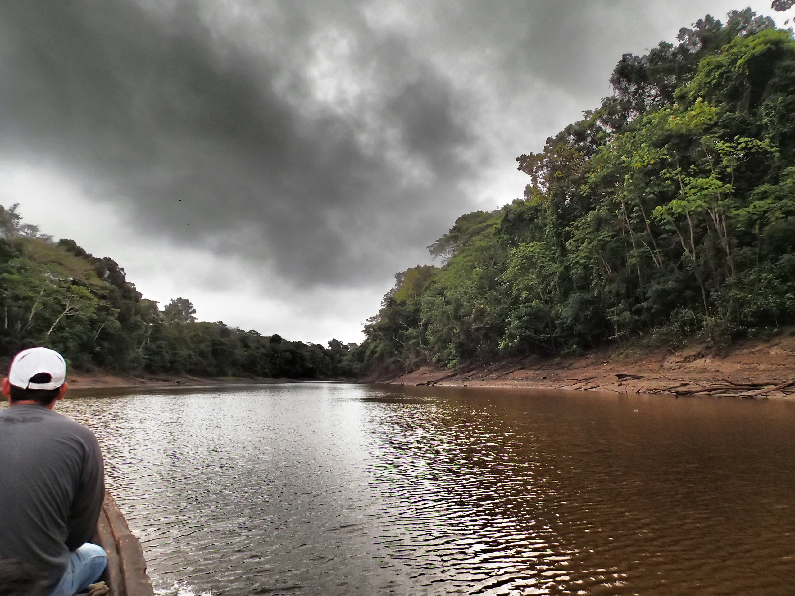
Panama, Colombia, and Peru
In July 2025, the NASA ISRO Synthetic Aperture Radar (NISAR) mission began collecting data to help scientists better understand Earth's changing surface. One important goal of the mission is to track water, ice, and ecosystems in regions that are difficult to monitor with traditional satellite imagery, such as tropical rainforests and high-mountain environments. To support this effort, NASA is working in close collaboration with Peruvian researchers from SERNANP (Peru's National Service of Natural Protected Areas) and INAIGEM (the National Institute for Research on Glaciers and Mountain Ecosystems). Together, the teams are carrying out field measurements and airborne observations to help confirm the accuracy of maps generated with NISAR imagery. A major focus of this collaboration is the Pacaya-Samiria National Reserve, a vast wetland in the Peruvian Amazon that includes rivers, lakes, and seasonally flooded forests. In these regions, frequent cloud cover and dense vegetation make it difficult to monitor flooding from space. UAVSAR will collect data over the Pacaya-Samiria on the same dates as NISAR during a 19 day period. The project also extends to Peru's high Andes and lowland forests. In Huascarįn National Park, scientists will validate NISAR measurements of glacier movement, which are essential for understanding water resources in mountain regions. In the Amazon basin, work in the Los Amigos Reserve will support mapping of forest biomass, helping improve estimates of carbon storage and ecosystem health.
Airports
Coronel Fap Francisco Secada Vignetta (Iquitos, Peru)