Deployment not found. Please find a deployment on the search page.
DUST: Dense UAVSAR Snow Time series Deployment (L-band)
Mar 1–Mar 17, 2025
Image credit: Public domain / Pexels
This deployment is open to flight request submissions through the SOFRS page. If you need any assistance, please contact us.
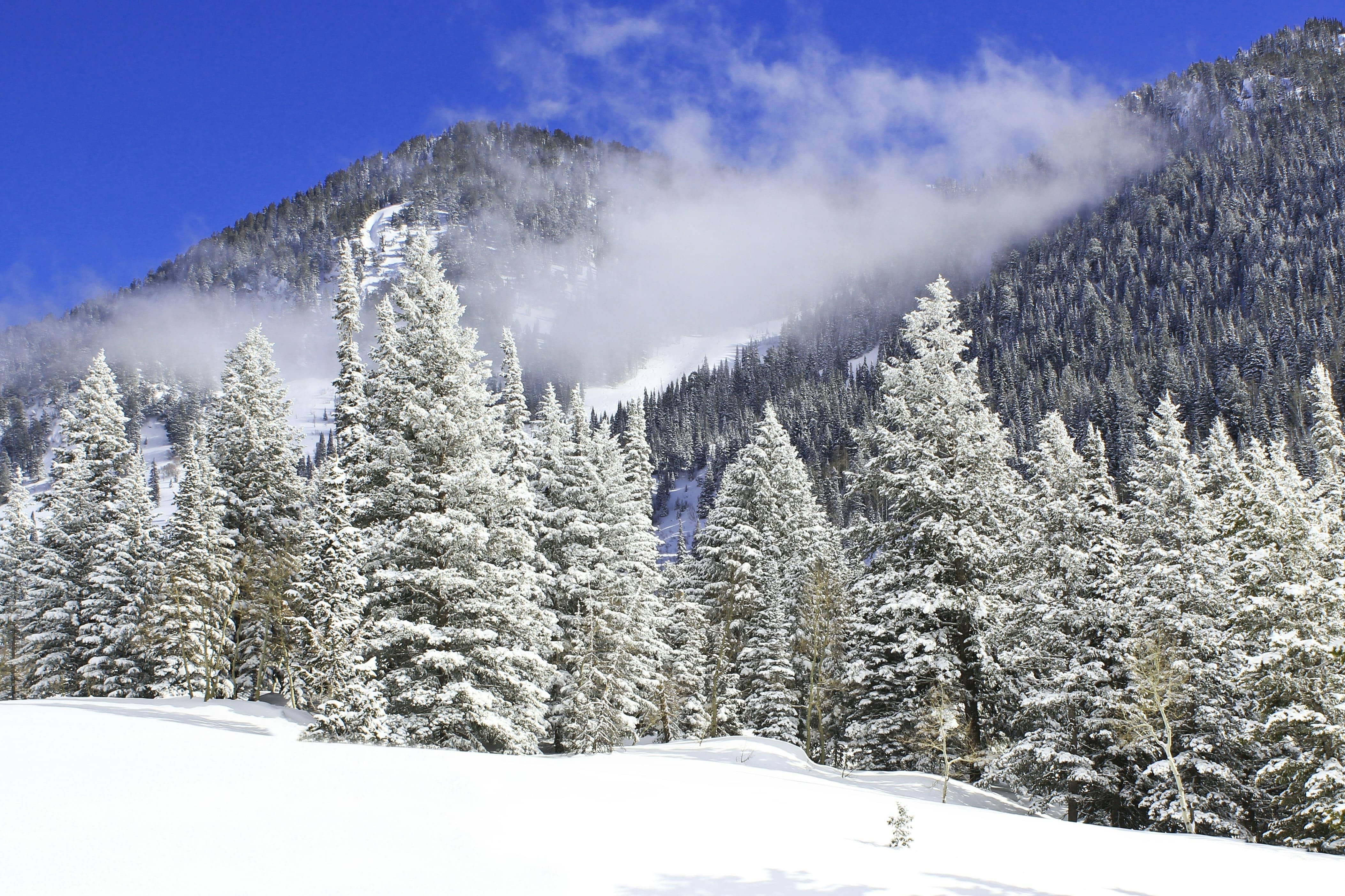
California and Idaho
The Dense UAVSAR Snow Time Series Campaign (DUST) mapped snow accumulation using repeat-pass SAR observations to estimate Snow Water Equivalent (SWE). The campaign collected seven total flights from March 1st through 17th over snowfall events in the Sierra Nevada Mountains in California, and the Rocky Mountains near Boise, Idaho. The time series will be validated against in-situ measurements to assess the relationship between retrieval accuracy and the temporal separation between observations.