< All deployments
SMAPVEX 2022 Deployment (L-band)
Apr 23–Jul 28, 2022
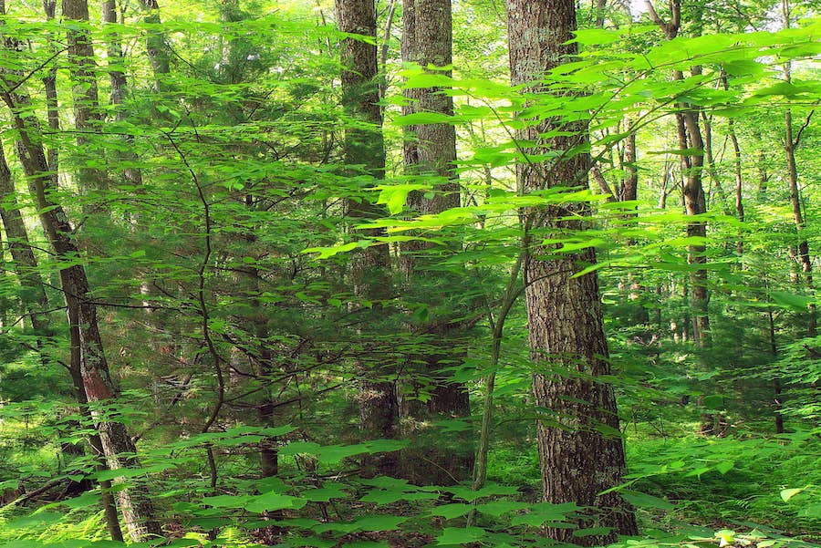
New England, U.S.
Click here for a full screen map.
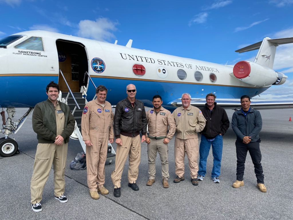
Airports
Montgomery Regional Airport (Alabama, USA)
Palmdale Regional Airport (Palmdale, USA)
Portland International Jetport (Portland, USA)
Science Disciplines
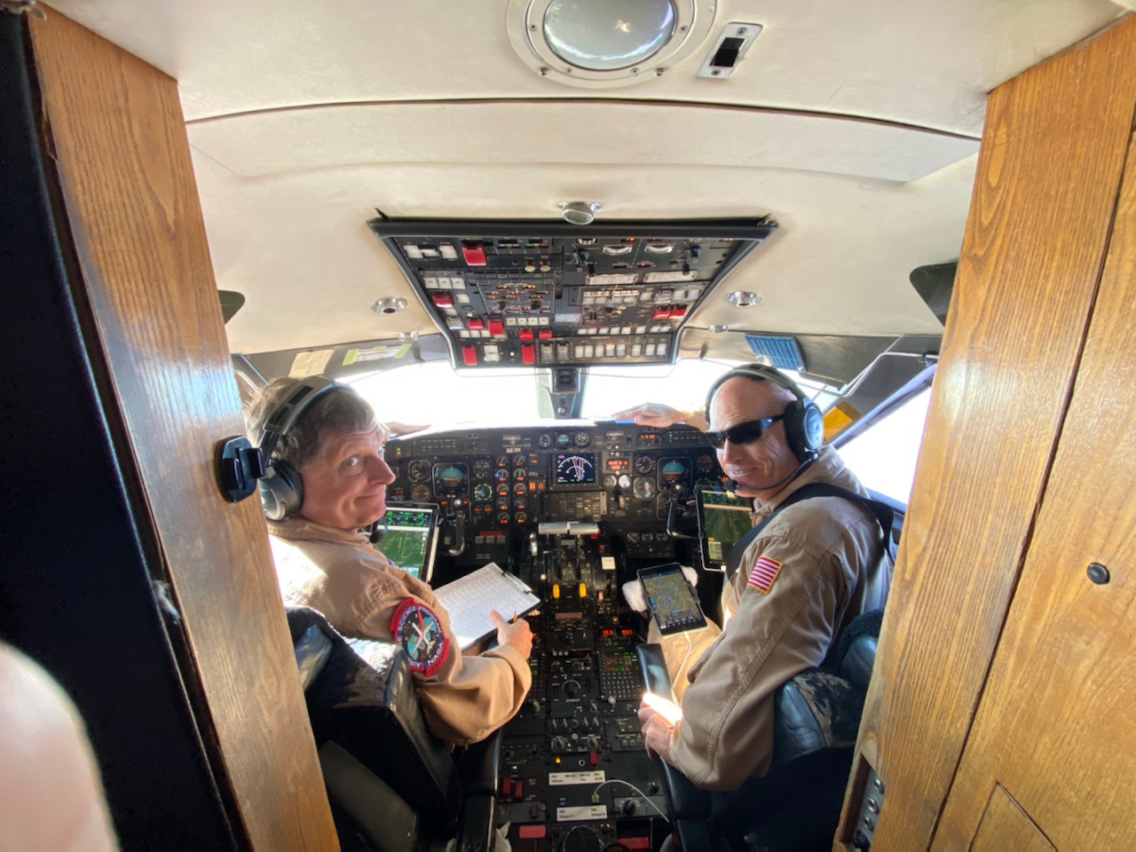
Photos
Flight Requests
Publications
-
Jeong, J., Tsang, L., Colliander, A., Xu, X., and Yueh, S. H., "Analysis of SMAPVEX19-22 Data over Forested Areas Using Electromagnetic Models Based on 3D Full-wave Solutions of Maxwell Equations," AGU Fall Meeting, San Francisco, USA, 2023
Abstract
-
Kraatz, S., Cosh, M. H., Kelly, V., Roy, A., Lamb, B. T., Siqueira, P., Bourgeau-Chavez, L., and Colliander, A. "SMAPVEX19-22: Overview of soil, plant and surface hydrology and their impacts on L-band radar signals," AGU Fall Meeting, San Francisco, USA, 2023
Abstract
-
Lamb, B.T., McDonald, K.C., Tzortziou, M.A. and Tesser, D.S., 2025. Characterizing Tidal Marsh Inundation with Synthetic Aperture Radar, Radiometric Modeling, and In Situ Water Level Observations. Remote Sensing, 17(2), p.263.
Paper / Peer-reviewed
-
Park J., Bindlish R., Horton D., Al-Khaldi M., Johnson J., Mengen D., Montzka C., and Jagdhuber, T. "Vegetation Corrections for the Time-Series Ratio Soil Moisture Retrieval Algorithm for the NISAR Mission," AGU Fall Meeting, San Francisco, USA, 2023
Abstract
-
Walker, V., Cosh, M., White, W., Colliander, A., Kelly, V., and Siqueira, P. "Surface Roughness in Temperate Forest: Lessons from SMAPVEX19-22," AGU Fall Meeting, San Francisco, USA, 2023
Abstract
-
Xu, X., Colliander, A., Cosh, M., Yueh, S., Entekhabi, D., Kim, S., and Bourgeau-Chavez, L., Soil Moisture Under Forest Canopy Analysis Using L-Band UAVSAR Data from SMAPVEX22. 2023 IEEE International Geoscience and Remote Sensing Symposium (IGARSS), Pasadena.
Abstract / Peer-reviewed